Seaport · Dominican Republic
Santo DomingoDOSDQ
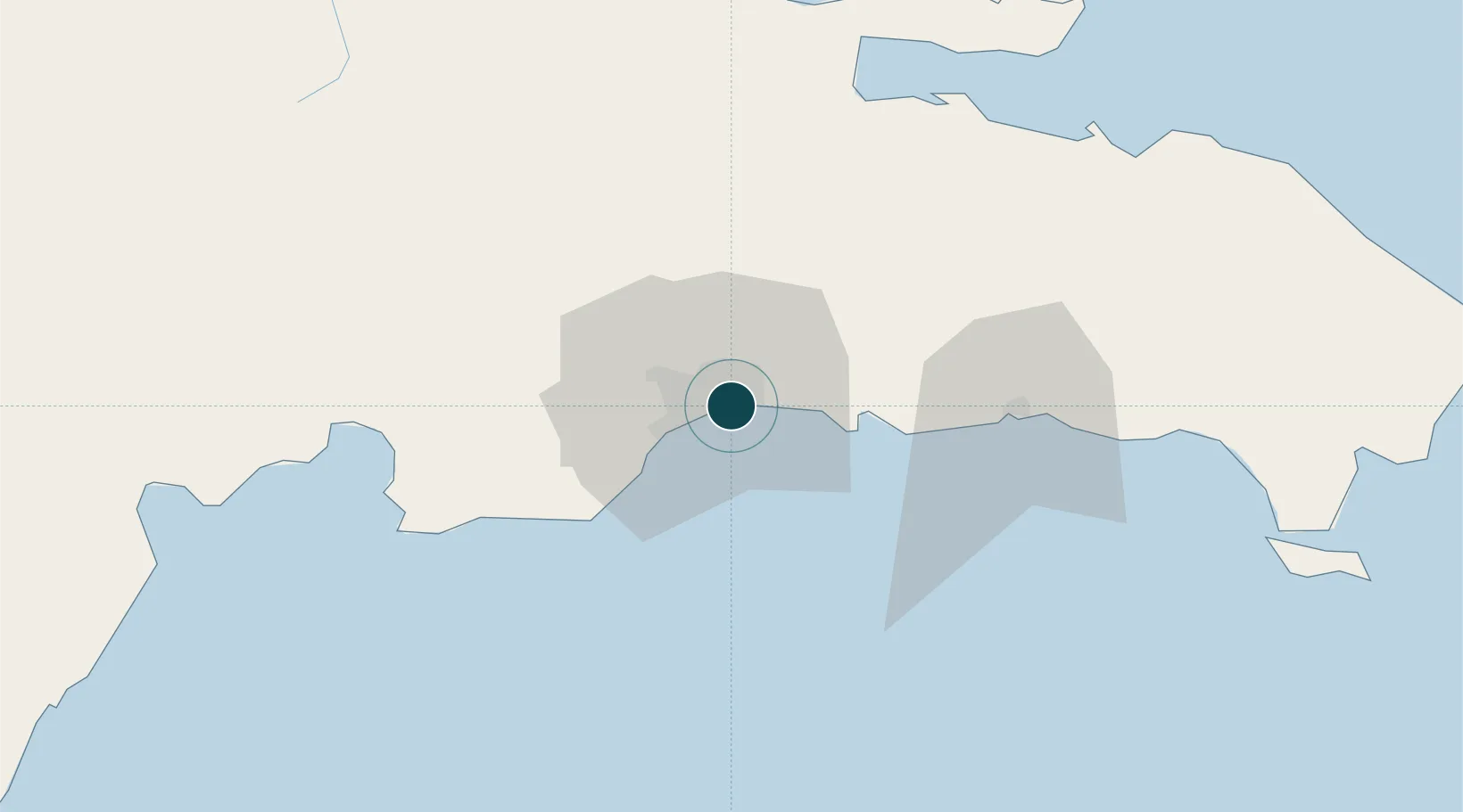
18.4667°, -69.8833°
9.4 m
Channel depth
8.6
Port liner connectivity
Channel & Berth Profile
Pilotage, Tugs & Services
Pilotage compulsoryYES
Pilotage availableYES
Tug assistanceYES
Potable waterYES
Diesel bunkersYES
MedicalYES
Facilities & Capabilities
ContainerYES
Ro-RoYES
Liquid bulkYES
Dry bulkYES
Oil terminal—
Break bulkYES
Dry dockNO
RepairsNO
BunkeringYES
Rail linkYES
Dangerous cargo—
ISPS securityYES
Harbour Specifications
Harbour size
Medium
Harbour type
River (Natural)
Shelter
Excellent
Water body
Caribbean Sea; North Atlantic Ocean
Tidal range
1.8 m
Overhead limit
Yes
Pilotage
Yes
Liner Connectivity
8.6
PLSCI
Port Liner Shipping Connectivity Index for Santo Domingo, as published by UNCTAD for the latest available quarter. Higher values indicate stronger scheduled liner-shipping integration.
Shown relative to the highest per-port PLSCI in the dataset (1,657.9).
Location
Nearby Logistics Neighbours
Ports
- 1Puerto De Haina15 km
- 2Andres (Andres Lng Terminal)27 km
- 3San Pedro De Macoris60 km
- 4Las Calderas72 km
- 5Sanchez90 km
Cities
- 1San Carlos3 km
- 2Hainamosa8 km
- 3Villa Mella9 km
- 4Haina12 km
- 5Pedro Brand13 km
Airports
DatabookThe Record of Consolidated Knowledge
Dominican Republic beyond logistics?