Export Processing Zone · Dominican Republic

Zona Franca Industrial S. Fco Macorís Active
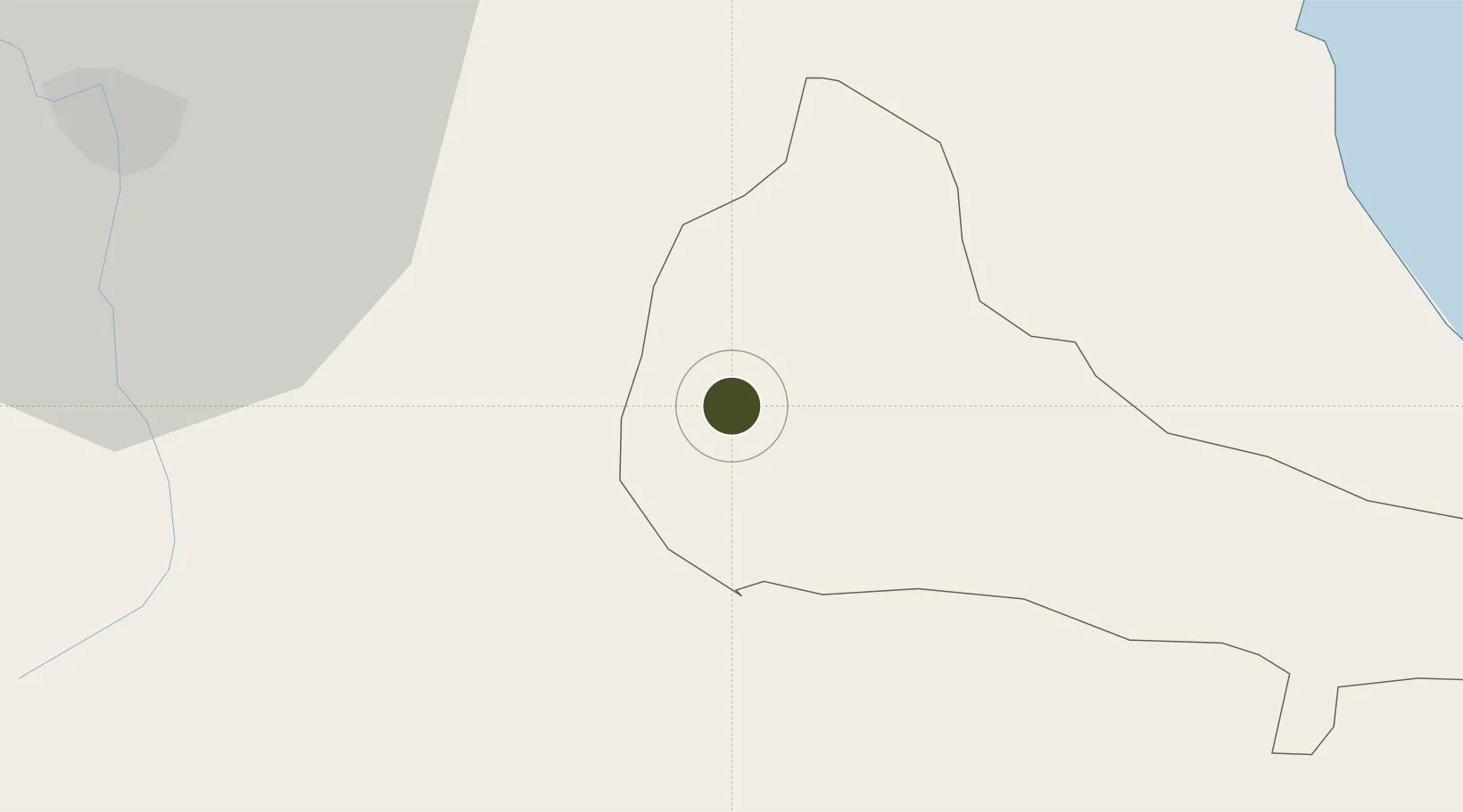
19.2754°, -70.2878°
16 ha
Zone area
70.6 km
Nearest port
36.2 km
Nearest airport

Gateway access

Nearest neighbours — logibook spatial index (haversine) over the source coordinates

Zone profile

Zone type
Export Processing Zone
Open Zone Map
Region
Duarte
Open Zone Map
Status
Active
Open Zone Map
Management
Public
Open Zone Map
Operator
Corporación de Fomento Industrial de la República Dominicana (PROINDUSTRIA)
Open Zone Map
Legal framework
Law 8-90, Amended in December 2007
Open Zone Map

Location

Location of ozm-1790
Natural Earth 10m (public domain) · Duarte · ozm-1790 · 19.28, -70.29GoogleOSMYandex

Nearby Logistics Neighbours

Ports
  1. 1Sanchez71 km
  2. 2Puerto Plata73 km
  3. 3Amber Cove80 km
  4. 4Santo Domingo100 km
  5. 5Puerto De Haina100 km
Nearest neighbours — logibook spatial index (haversine) over the source coordinates
Airports
  1. 1Cibao International Airport36 km
  2. 2Samaná El Catey International Airport58 km
  3. 3Gregorio Luperon International Airport61 km
  4. 4La Isabela International Airport84 km
  5. 5San Isidro Air Base102 km
Nearest neighbours — logibook spatial index (haversine) over the source coordinates
Cities
  1. 1San Francisco de Macorís5 km
  2. 2Pimentel22 km
  3. 3Moca27 km
  4. 4Bonao40 km
  5. 5Jarabacoa40 km
Nearest neighbours — logibook spatial index (haversine) over the source coordinates
DatabookThe Record of Consolidated Knowledge
Dominican Republic beyond logistics?
Browse databook

All Sources

Trade ZonesOpen Zone Map
CC BY
Portsthe NGA World Port Index
Public domain (US gov)
AirportsOurAirports
Public domain
LocationsUN/LOCODE
UN/LOCODE — free
← Dominican Republic trade zones