Free Trade Zone · Colombia

Zona Franca de Ibagué Active
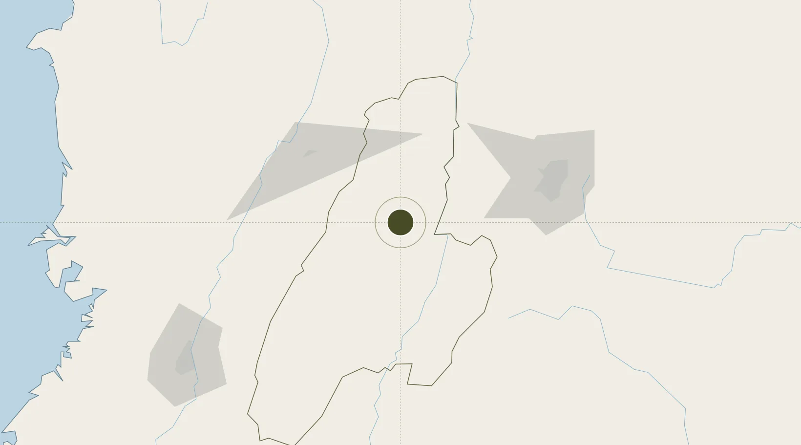
4.3584°, -75.1120°
23 ha
Zone area
223.1 km
Nearest port
7.4 km
Nearest airport

Gateway access

Nearest neighbours — logibook spatial index (haversine) over the source coordinates

Zone profile

Zone type
Free Trade Zone
Open Zone Map
Region
Tolima
Open Zone Map
Status
Active
Open Zone Map
Management
Private
Open Zone Map
Operator
Ibagué Free Zone, SAS
Open Zone Map
Legal framework
Unavailable
Open Zone Map

Location

Location of ozm-1619
Natural Earth 10m (public domain) · Tolima · ozm-1619 · 4.36, -75.11GoogleOSMYandex

Nearby Logistics Neighbours

Ports
  1. 1Buenaventura223 km
  2. 2Turbo451 km
  3. 3Tumaco493 km
  4. 4Covenas566 km
  5. 5Covenas Offshore Term.576 km
Nearest neighbours — logibook spatial index (haversine) over the source coordinates
Airports
  1. 1Perales Airport7 km
  2. 2Santiago Vila Airport36 km
  3. 3El Eden Airport73 km
  4. 4La Nubia Airport84 km
  5. 5Matecaña International Airport86 km
Nearest neighbours — logibook spatial index (haversine) over the source coordinates
Cities
  1. 1Espinal34 km
  2. 2Chinchina87 km
  3. 3Galicia106 km
  4. 4Bogotá113 km
  5. 5Cota123 km
Nearest neighbours — logibook spatial index (haversine) over the source coordinates
Trade Zones
  1. 1Quindío Zona Franca75 km
  2. 2Zona Franca Andina91 km
  3. 3Pereira International Free Trade Zone103 km
  4. 4Occidente Free Trade Zone105 km
  5. 5Bogota Free Trade Zone111 km
Nearest neighbours — logibook spatial index (haversine) over the source coordinates
DatabookThe Record of Consolidated Knowledge
Colombia beyond logistics?
Browse databook

All Sources

Trade ZonesOpen Zone Map
CC BY
Portsthe NGA World Port Index
Public domain (US gov)
AirportsOurAirports
Public domain
LocationsUN/LOCODE
UN/LOCODE — free
← Colombia trade zones