Seaport · Colombia
BuenaventuraCOBUN
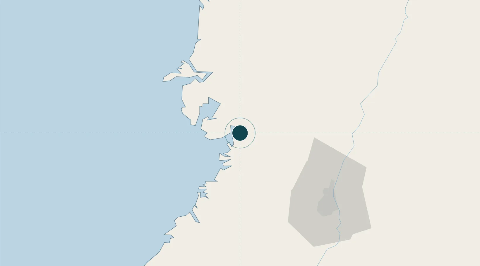
3.8833°, -77.0667°
7.9 m
Channel depth
3
Container terminals
235.1
Port liner connectivity
Channel & Berth Profile
Pilotage, Tugs & Services
Pilotage compulsoryYES
Pilotage availableYES
Pilotage advisableYES
Tug assistanceYES
Shore powerYES
Potable waterYES
MedicalYES
Facilities & Capabilities
Container—
Ro-Ro—
Liquid bulk—
Dry bulk—
Oil terminal—
Break bulk—
Dry dock—
RepairsNO
BunkeringYES
Rail linkYES
Dangerous cargo—
ISPS security—
Harbour Specifications
Harbour size
Medium
Harbour type
Coastal (Natural)
Shelter
Fair
Water body
North Pacific Ocean
Tidal range
4 m
Overhead limit
Yes
Pilotage
Yes
Liner Connectivity
235.1
PLSCI
Port Liner Shipping Connectivity Index for Buenaventura, as published by UNCTAD for the latest available quarter. Higher values indicate stronger scheduled liner-shipping integration.
Shown relative to the highest per-port PLSCI in the dataset (1,657.9).
Location
Container Terminals · 3
SOCIEDAD PUERTO INDUSTRIAL AGUADULCE
SPIA
TERMINAL MARITIMO SOCIEDAD PORTUARIA REGIONAL (SPRBUN)
SPRBU TERMINAL MARITIMO SOCIEDAD PORTUARIA REGIONAL DE BUENAVENTURA S.A. (SPRBUN)
TCBUEN S.A.
TCBUN TERMINAL DE CONTENEDORES DE BUENAVENTURA S.A.
Nearby Logistics Neighbours
Ports
- 1Tumaco296 km
- 2Esmeraldas430 km
- 3Turbo469 km
- 4Vacamonte624 km
- 5Balboa627 km
Cities
- 1Yumbo74 km
- 2Candelaria98 km
- 3Guachene113 km
- 4Galicia117 km
- 5Caloto120 km
Airports
Trade Zones
DatabookThe Record of Consolidated Knowledge
Colombia beyond logistics?