Channel & Berth Profile
Pilotage, Tugs & Services
Pilotage compulsoryYES
Tug assistanceYES
Potable waterNO
MedicalYES
Garbage disposalNO
Facilities & Capabilities
Container—
Ro-Ro—
Liquid bulk—
Dry bulk—
Oil terminal—
Break bulk—
Dry dock—
RepairsNO
BunkeringYES
Rail link—
Dangerous cargo—
ISPS security—
Harbour Specifications
Harbour size
Very Small
Harbour type
Open Roadstead
Shelter
Poor
Water body
Caribbean Sea; North Atlantic Ocean
Tidal range
1 m
Pilotage
Yes
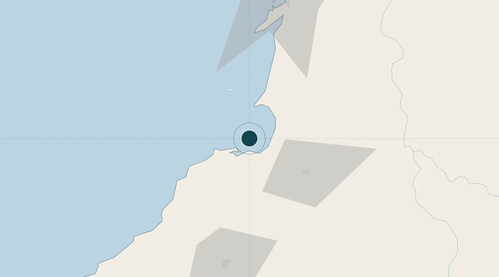
Location
Nearby Logistics Neighbours
Cities
- 1Tolú17 km
- 2Puerto Limón51 km
- 3El Carmen de Bolívar72 km
- 4Mamonal94 km
- 5Rio Cordoba95 km
Airports
- 1Coveñas Airport12 km
- 2Golfo de Morrosquillo Airport16 km
- 3Las Brujas Airport53 km
- 4Los Garzones Airport76 km
- 5Baracoa Airport100 km
DatabookThe Record of Consolidated Knowledge
Colombia beyond logistics?