UN/LOCODE hub · Colombia
COBOG

Bogotá

4.6926°, -74.1493°
7,674,366
Population
4
Transport functions

Transport Functions

Rail
Road
Airport
Postal
UN/LOCODE

Hub Profile

Place type
National capital
GeoNames
Region
Bogota D.C.
GeoNames
Population
7,674,366
GeoNames
Time zone
America/Bogota
GeoNames
Elevation
2,582 m
GeoNames
Logistics facilities
6
UN/LOCODE

Location

Location of COBOG
Natural Earth 10m (public domain) · Bogota D.C. · COBOG · 4.69, -74.15GoogleOSMYandex

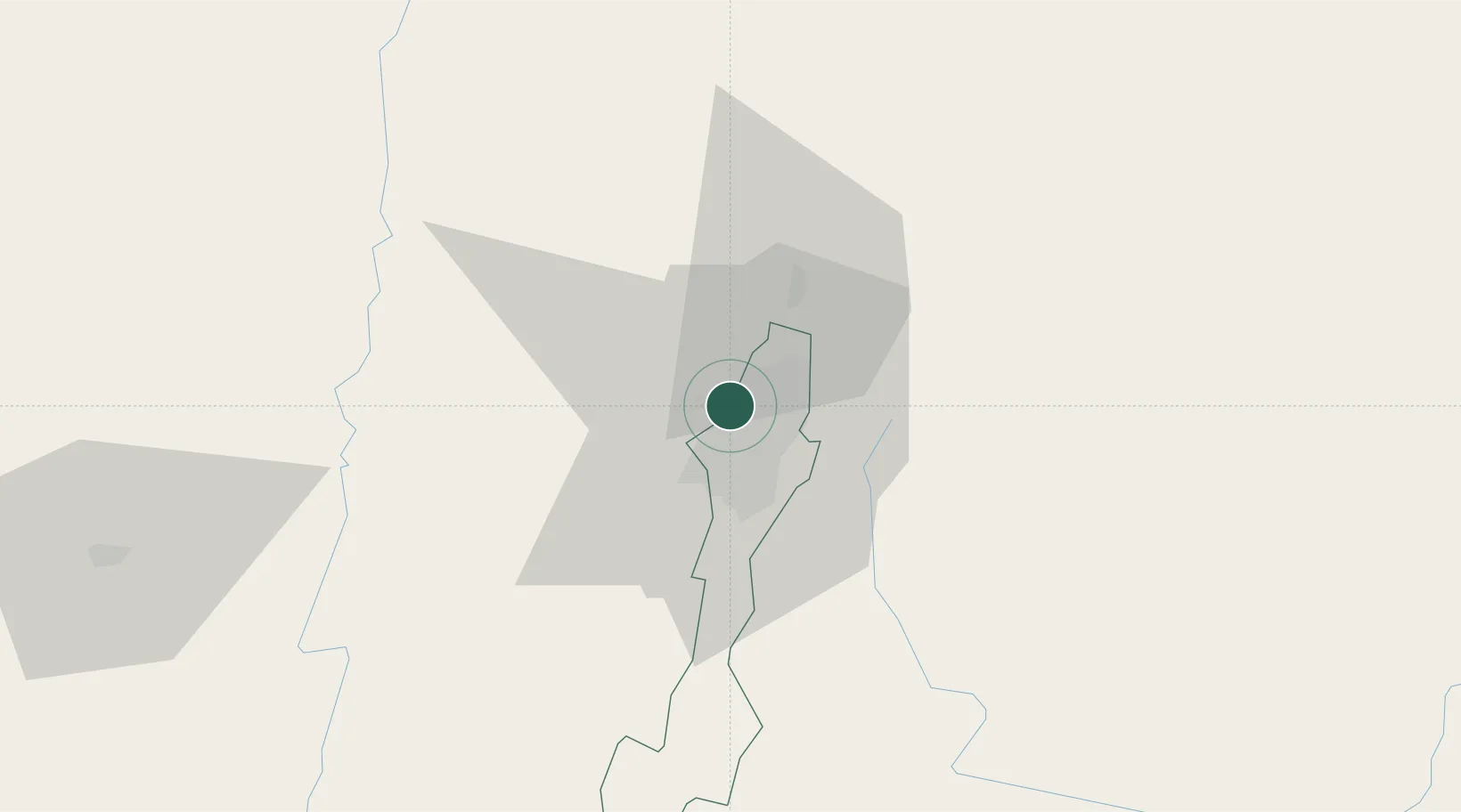
Nearby Logistics Neighbours

Cities
  1. 1Cota15 km
  2. 2Chia21 km
  3. 3Cajica28 km
  4. 4Tocancipá40 km
  5. 5Acacías90 km
Nearest neighbours — logibook spatial index (haversine) over the source coordinates
Ports
  1. 1Buenaventura336 km
  2. 2Turbo473 km
  3. 3Covenas552 km
  4. 4Covenas Offshore Term.562 km
  5. 5Tumaco603 km
Nearest neighbours — logibook spatial index (haversine) over the source coordinates
Airports
  1. 1El Dorado International Airport1 km
  2. 2Vanguardia Airport83 km
  3. 3Santiago Vila Airport85 km
  4. 4Gomez Nino Apiay Air Base95 km
  5. 5Mariquita Airport100 km
Nearest neighbours — logibook spatial index (haversine) over the source coordinates
Trade Zones
  1. 1Bogota Free Trade Zone2 km
  2. 2Zona Franca INTEXZONA6 km
  3. 3Metropolitana Free Trade Zone7 km
  4. 4Celta Trade Park7 km
  5. 5Occidente Free Trade Zone11 km
Nearest neighbours — logibook spatial index (haversine) over the source coordinates
DatabookThe Record of Consolidated Knowledge
Colombia beyond logistics?
Browse databook

All Sources

LocationsUN/LOCODE
UN/LOCODE — free
LocationsGeoNames
CC BY 4.0
Portsthe NGA World Port Index
Public domain (US gov)
AirportsOurAirports
Public domain
Trade Zonesthe World Bank SEZ database
CC BY 4.0
Trade ZonesOpen Zone Map
CC BY
← Colombia locations