Medium airport · Colombia

La Nubia AirportSKMZ
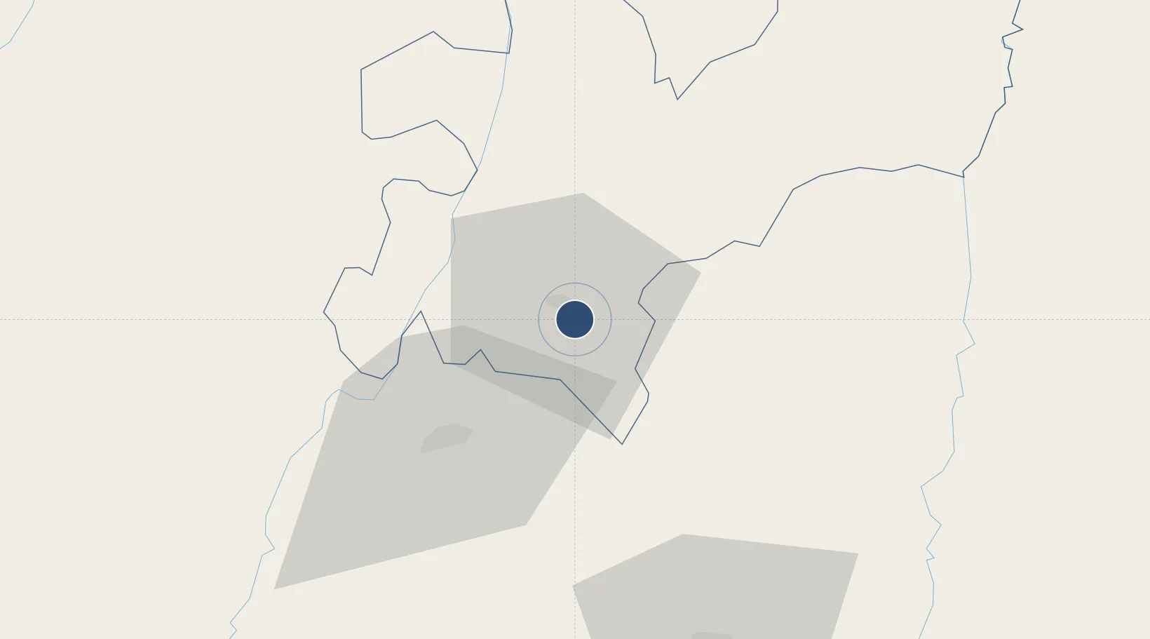
5.0296°, -75.4647°
4,835 ft
Longest runway
2
Runways
6,871 ft
Elevation

Runway & Layout

La Nubia Airport runway & taxiway layout
Runway & taxiway layout — OpenStreetMap (ODbL) / OurAirports

Radio Frequencies

TWR
118.2 MHz
APP
121.1 MHz
MEDELLIN APP
RDO
348.8 MHz
MANIZALES RDO
OurAirports

Navaids

LNA NDB Manizales 337 kHz
OurAirports

Runways · 2

RunwayDimensions SurfaceTrue headingLit
10/28 4,835 × 65ft Asphalt 095°
09/27 Unknown
OurAirports

Airport Specifications

IATA code
MZL
OurAirports
ICAO code
SKMZ
OurAirports
Airport class
Medium airport
OurAirports
Scheduled service
Yes
OurAirports
Runway surface
Asphalt
OurAirports
Served city
Manizales
OurAirports

Location

Location of SKMZ
Natural Earth 10m (public domain) · Caldas · SKMZ · 5.03, -75.46GoogleOSMYandex

Nearby Logistics Neighbours

Airports
  1. 1Matecaña International Airport39 km
  2. 2Santa Ana Airport62 km
  3. 3Mariquita Airport68 km
  4. 4El Eden Airport72 km
  5. 5Perales Airport77 km
Nearest neighbours — logibook spatial index (haversine) over the source coordinates
Cities
  1. 1Chinchina17 km
  2. 2Galicia116 km
  3. 3Espinal117 km
  4. 4Rionegro125 km
  5. 5Itagui127 km
Nearest neighbours — logibook spatial index (haversine) over the source coordinates
Ports
  1. 1Buenaventura219 km
  2. 2Turbo367 km
  3. 3Covenas488 km
  4. 4Covenas Offshore Term.498 km
  5. 5Tumaco511 km
Nearest neighbours — logibook spatial index (haversine) over the source coordinates
Trade Zones
  1. 1Zona Franca Andina7 km
  2. 2Pereira International Free Trade Zone48 km
  3. 3Quindío Zona Franca72 km
  4. 4Zona Franca de Ibagué84 km
  5. 5Zona Franca Internacional Del Valle De Aburrá117 km
Nearest neighbours — logibook spatial index (haversine) over the source coordinates
DatabookThe Record of Consolidated Knowledge
Colombia beyond logistics?
Browse databook

All Sources

AirportsOurAirports
Public domain
Portsthe NGA World Port Index
Public domain (US gov)
LocationsUN/LOCODE
UN/LOCODE — free
Trade Zonesthe World Bank SEZ database
CC BY 4.0
Trade ZonesOpen Zone Map
CC BY
InfrastructureOpenStreetMap
ODbL 1.0
← Colombia airports