Channel & Berth Profile
Pilotage, Tugs & Services
Pilotage compulsoryYES
Pilotage availableYES
Tug assistanceYES
Salvage tugsNO
Potable waterYES
Diesel bunkersNO
MedicalYES
Garbage disposalYES
Facilities & Capabilities
Container—
Ro-Ro—
Liquid bulk—
Dry bulk—
Oil terminal—
Break bulk—
Dry dock—
Repairs—
BunkeringYES
Rail link—
Dangerous cargo—
ISPS security—
Harbour Specifications
Harbour size
Very Small
Harbour type
Open Roadstead
Shelter
Poor
Water body
North Pacific Ocean
Tidal range
1 m
Pilotage
Yes
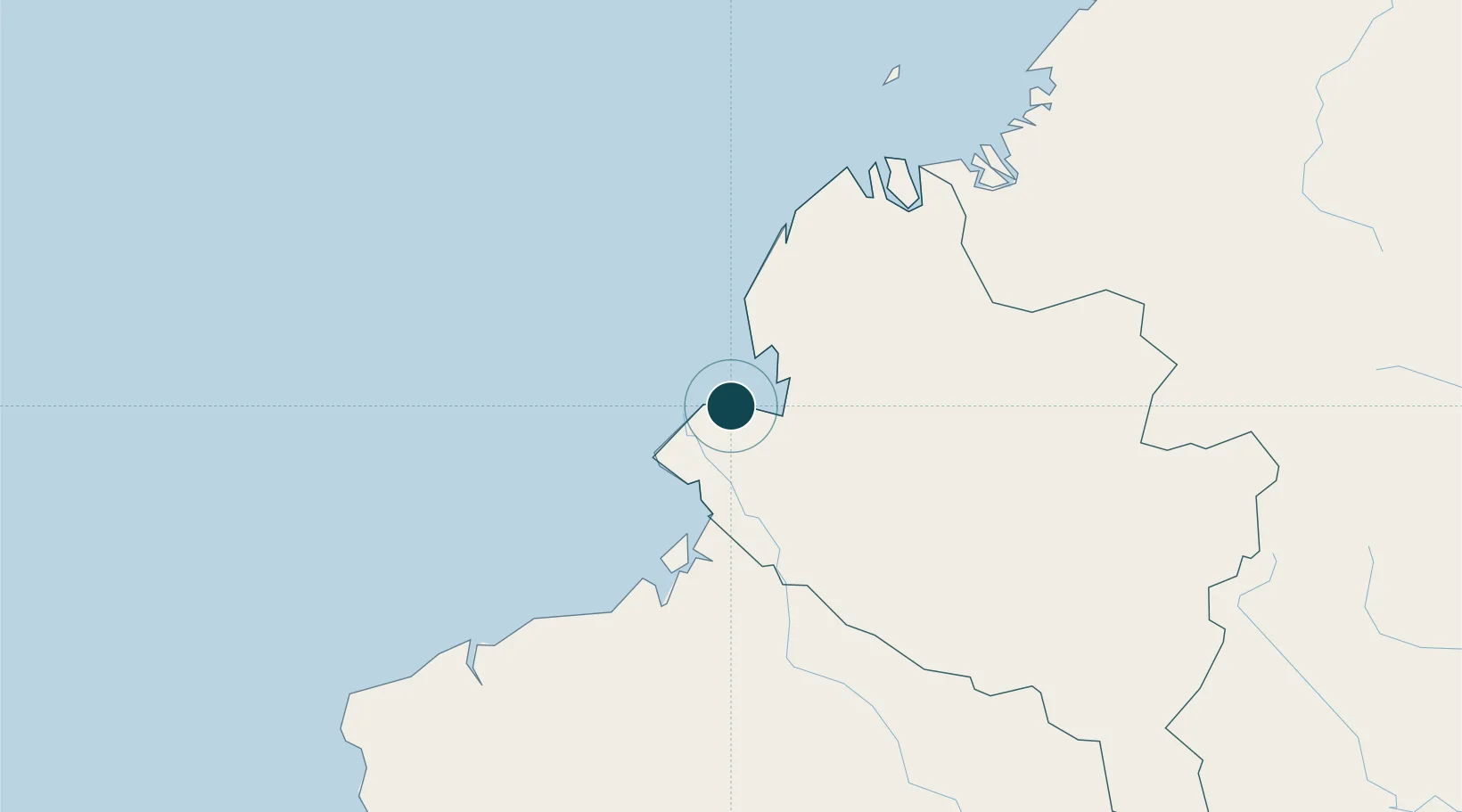
Location
Nearby Logistics Neighbours
Ports
- 1Esmeraldas135 km
- 2Buenaventura296 km
- 3Manta377 km
- 4Guayaquil464 km
- 5Puerto Maritimo De Guayaquil474 km
Cities
- 1Chambo21 km
- 2San Lorenzo64 km
- 3Puyo94 km
- 4Esmeraldas141 km
- 5Balboa172 km
Airports
Trade Zones
- 1Zona Franca Mitad del Mundo204 km
- 2Corpaq Tabalela (Quiport)220 km
- 3Zona Franca Millestonecorp223 km
- 4Metrozona Quito224 km
- 5Zona Franca Parque Sur296 km
DatabookThe Record of Consolidated Knowledge
Colombia beyond logistics?