Medium airport · Colombia
Perales AirportSKIB
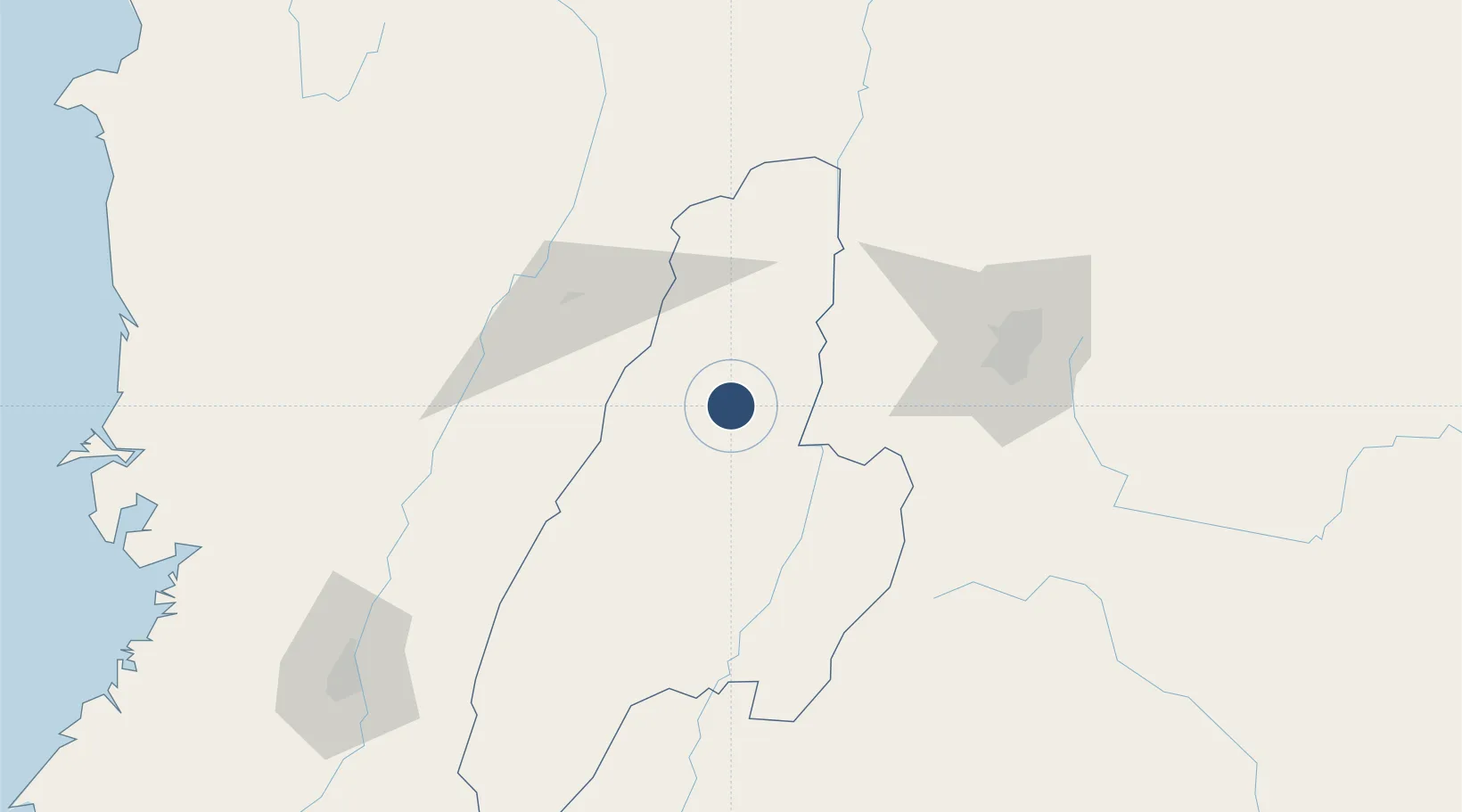
4.4216°, -75.1333°
5,905 ft
Longest runway
1
Runways
2,999 ft
Elevation
Runway & Layout

Radio Frequencies
TWR
118.3 MHz
ARR
119.5 MHz
BOGOTA APP
RDO
348.8 MHz
IBAGUE RDO
Navaids
IBG VOR-DME Ibague 112.00 MHz
IBG NDB Ibague 312 kHz
Runways · 1
| Runway | Dimensions | Surface | True heading | Lit |
|---|---|---|---|---|
| 14/32 | 5,905 × 98ft | Asphalt | 131° | ✓ |
Airport Specifications
IATA code
IBE
ICAO code
SKIB
Airport class
Medium airport
Scheduled service
Yes
Runway surface
Asphalt
Served city
Ibagué
Location
Nearby Logistics Neighbours
Airports
- 1Santiago Vila Airport41 km
- 2El Eden Airport70 km
- 3La Nubia Airport77 km
- 4Matecaña International Airport80 km
- 5Mariquita Airport92 km
Ports
- 1Buenaventura223 km
- 2Turbo444 km
- 3Tumaco495 km
- 4Covenas559 km
- 5Covenas Offshore Term.569 km
Trade Zones
- 1Zona Franca de Ibagué7 km
- 2Quindío Zona Franca72 km
- 3Zona Franca Andina84 km
- 4Pereira International Free Trade Zone97 km
- 5Occidente Free Trade Zone104 km
DatabookThe Record of Consolidated Knowledge
Colombia beyond logistics?