Transport Functions
Multimodal
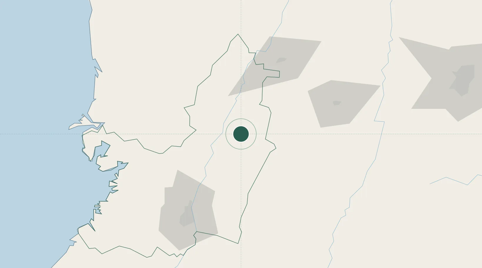
Hub Profile
Place type
Populated place
Region
Valle del Cauca Department
Time zone
America/Bogota
Elevation
1,152 m
Location
Nearby Logistics Neighbours
Cities
- 1Yumbo88 km
- 2Candelaria91 km
- 3Chinchina102 km
- 4Buenaventura114 km
- 5Guachene121 km
Ports
- 1Buenaventura117 km
- 2Tumaco398 km
- 3Turbo442 km
- 4Esmeraldas533 km
- 5Covenas585 km
Airports
Trade Zones
DatabookThe Record of Consolidated Knowledge
Colombia beyond logistics?