Free Trade Zone · Colombia
Quindío Zona Franca Active
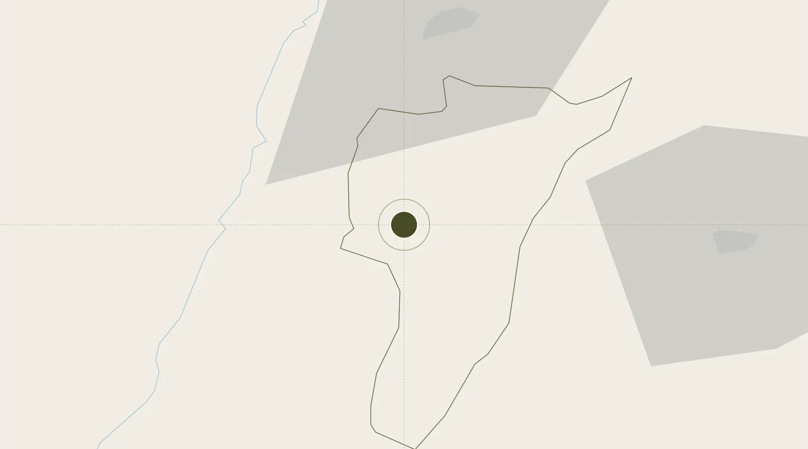
4.4645°, -75.7809°
20 ha
Zone area
156.6 km
Nearest port
2.1 km
Nearest airport
Gateway access
Zone profile
Zone type
Free Trade Zone
Region
Quindío
Status
Active
Management
Private
Operator
Zona Franca del Eje Cafetero, SA
Legal framework
Law 1004/2005 Decree 383 and 4051
Location
Nearby Logistics Neighbours
Ports
- 1Buenaventura157 km
- 2Turbo416 km
- 3Tumaco442 km
- 4Covenas551 km
- 5Covenas Offshore Term.560 km
Airports
- 1El Eden Airport2 km
- 2Santa Ana Airport38 km
- 3Matecaña International Airport39 km
- 4Heriberto Gíl Martínez Airport66 km
- 5La Nubia Airport72 km
Cities
- 1Galicia45 km
- 2Chinchina59 km
- 3Espinal106 km
- 4Yumbo133 km
- 5Candelaria133 km
Trade Zones
- 1Pereira International Free Trade Zone48 km
- 2Zona Franca Andina74 km
- 3Zona Franca de Ibagué75 km
- 4Palmaseca Free Trade Zone121 km
- 5Pacific Free Trade Zone125 km
DatabookThe Record of Consolidated Knowledge
Colombia beyond logistics?