Transport Functions
Multimodal
Hub Profile
Place type
Provincial seat
Region
Tolima Department
Population
56,213
Time zone
America/Bogota
Elevation
323 m
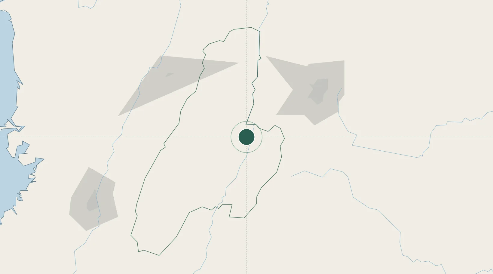
Location
Nearby Logistics Neighbours
Ports
- 1Buenaventura244 km
- 2Turbo483 km
- 3Tumaco502 km
- 4Covenas592 km
- 5Covenas Offshore Term.602 km
Airports
- 1Santiago Vila Airport17 km
- 2Perales Airport41 km
- 3El Dorado International Airport102 km
- 4El Eden Airport104 km
- 5La Nubia Airport117 km
Trade Zones
- 1Zona Franca de Ibagué34 km
- 2Occidente Free Trade Zone95 km
- 3Bogota Free Trade Zone99 km
- 4Zona Franca INTEXZONA104 km
- 5Celta Trade Park105 km
DatabookThe Record of Consolidated Knowledge
Colombia beyond logistics?