Free Industrial Zone · Colombia

Bogota Free Trade Zone Active
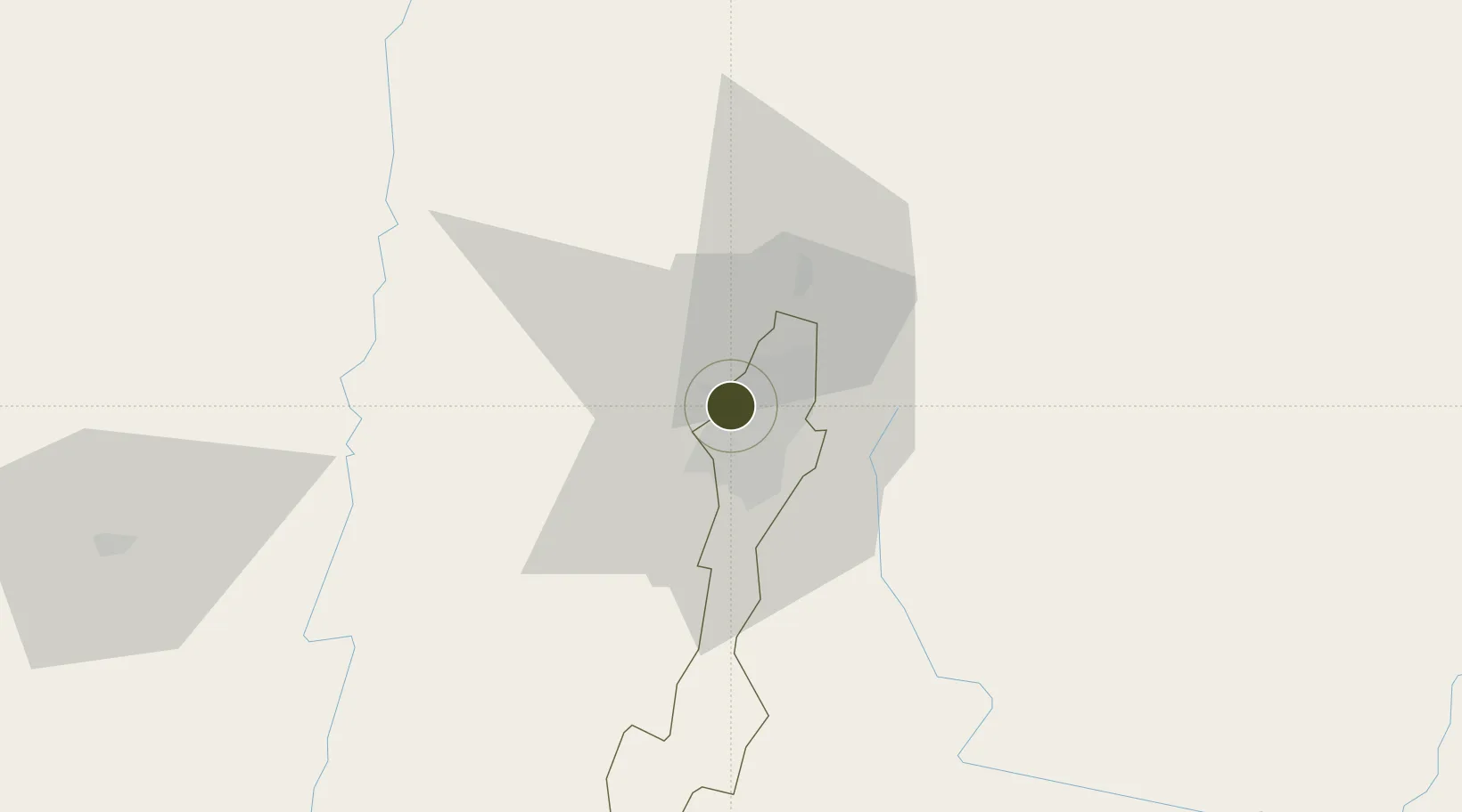
4.6735°, -74.1585°
96 ha
Zone area
334.2 km
Nearest port
3.4 km
Nearest airport

Gateway access

Nearest neighbours — logibook spatial index (haversine) over the source coordinates

Zone profile

Zone type
Free Industrial Zone
the World Bank SEZ database
Region
Bogota
the World Bank SEZ database
Status
Active
the World Bank SEZ database
Established
1985
the World Bank SEZ database
Management
Private management
the World Bank SEZ database
Operator
Grupo Zona Franca Bogota
the World Bank SEZ database
Regulatory authority
Comision Intersectorial de Zonas Francas
the World Bank SEZ database
Legal framework
Law 1004/2005 Decree 383 and 4051
the World Bank SEZ database

Location

Location of COL1
Natural Earth 10m (public domain) · Bogota · COL1 · 4.67, -74.16GoogleOSMYandex

Fiscal & incentives

Corporate tax
25%
the World Bank SEZ database
Tax relief
Reduced fixed-rate at 20%
the World Bank SEZ database
Relief duration
Perpetual
the World Bank SEZ database
VAT
No exemption
the World Bank SEZ database
Import duty (inputs)
100% exempt
the World Bank SEZ database
Import duty (capex)
100% exempt
the World Bank SEZ database
Profit repatriation
No exemption
the World Bank SEZ database
Capital gains
No exemption
the World Bank SEZ database
Withholding tax
No exemption
the World Bank SEZ database
Min. investment
$0 - $2.4M in first three years depending on size of company assets
the World Bank SEZ database
Min. export
0%
the World Bank SEZ database
Employment incentive
No exemption
the World Bank SEZ database
Developer incentive
Yes
the World Bank SEZ database

Nearby Logistics Neighbours

Ports
  1. 1Buenaventura334 km
  2. 2Turbo474 km
  3. 3Covenas554 km
  4. 4Covenas Offshore Term.564 km
  5. 5Tumaco601 km
Nearest neighbours — logibook spatial index (haversine) over the source coordinates
Airports
  1. 1El Dorado International Airport3 km
  2. 2Vanguardia Airport83 km
  3. 3Santiago Vila Airport83 km
  4. 4Gomez Nino Apiay Air Base94 km
  5. 5Mariquita Airport100 km
Nearest neighbours — logibook spatial index (haversine) over the source coordinates
Cities
  1. 1Bogotá2 km
  2. 2Cota17 km
  3. 3Chia24 km
  4. 4Cajica30 km
  5. 5Tocancipá42 km
Nearest neighbours — logibook spatial index (haversine) over the source coordinates
Trade Zones
  1. 1Zona Franca INTEXZONA8 km
  2. 2Metropolitana Free Trade Zone9 km
  3. 3Celta Trade Park9 km
  4. 4Occidente Free Trade Zone11 km
  5. 5Zona Franca de Tocancipa39 km
Nearest neighbours — logibook spatial index (haversine) over the source coordinates
DatabookThe Record of Consolidated Knowledge
Colombia beyond logistics?
Browse databook

All Sources

Trade Zonesthe World Bank SEZ database
CC BY 4.0
Portsthe NGA World Port Index
Public domain (US gov)
AirportsOurAirports
Public domain
LocationsUN/LOCODE
UN/LOCODE — free
← Colombia trade zones