Medium airport · Colombia
Santiago Vila AirportSKGI
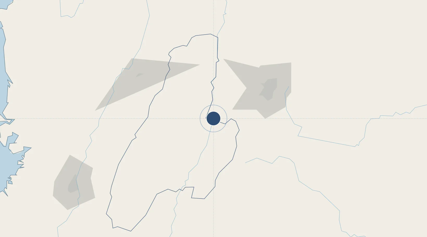
4.2762°, -74.7967°
5,249 ft
Longest runway
1
Runways
900 ft
Elevation
Runway & Layout

Radio Frequencies
TWR
118.4 MHz
APP
119.5 MHz
BOGOTA APP
A/G
348.8 MHz
GIRARDOT RDO
Navaids
GIR VOR-DME Girardot 117.30 MHz
Runways · 1
| Runway | Dimensions | Surface | True heading | Lit |
|---|---|---|---|---|
| 02/20 | 5,249 × 92ft | Asphalt | 012° | ✓ |
Airport Specifications
IATA code
GIR
ICAO code
SKGI
Airport class
Medium airport
Scheduled service
No
Runway surface
Asphalt
Served city
Girardot
Location
Nearby Logistics Neighbours
Airports
- 1Perales Airport41 km
- 2El Dorado International Airport86 km
- 3Mariquita Airport105 km
- 4El Eden Airport109 km
- 5La Nubia Airport112 km
Ports
- 1Buenaventura256 km
- 2Turbo474 km
- 3Tumaco517 km
- 4Covenas580 km
- 5Covenas Offshore Term.590 km
Trade Zones
- 1Zona Franca de Ibagué36 km
- 2Occidente Free Trade Zone79 km
- 3Bogota Free Trade Zone83 km
- 4Zona Franca INTEXZONA88 km
- 5Celta Trade Park89 km
DatabookThe Record of Consolidated Knowledge
Colombia beyond logistics?