Free Industrial Zone · Colombia

Pereira International Free Trade Zone Active
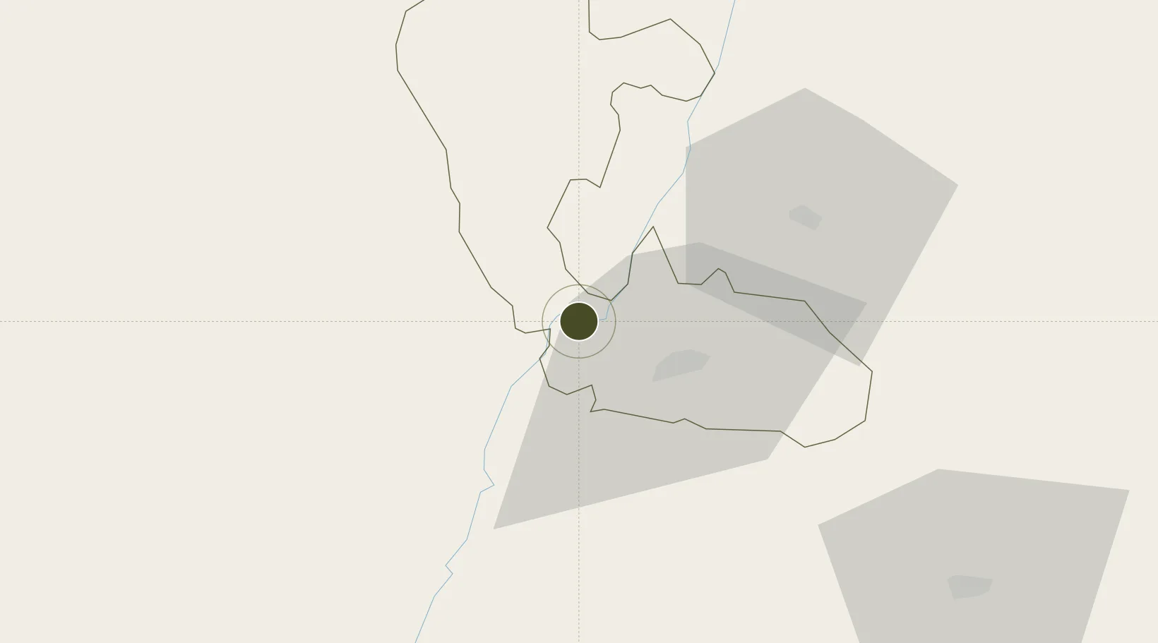
4.8847°, -75.8736°
27 ha
Zone area
172.9 km
Nearest port
16.7 km
Nearest airport

Gateway access

Nearest neighbours — logibook spatial index (haversine) over the source coordinates

Zone profile

Zone type
Free Industrial Zone
the World Bank SEZ database
Region
Risaralda
the World Bank SEZ database
Status
Active
the World Bank SEZ database
Established
2011
the World Bank SEZ database
Management
Private management
the World Bank SEZ database
Operator
La Zona Franca Internacional de Pereira S.A.S.
the World Bank SEZ database
Regulatory authority
Comision Intersectorial de Zonas Francas
the World Bank SEZ database
Legal framework
Law 1004/2005 Decree 383 and 4051
the World Bank SEZ database

Location

Location of COL23
Natural Earth 10m (public domain) · Risaralda · COL23 · 4.88, -75.87GoogleOSMYandex

Fiscal & incentives

Corporate tax
25%
the World Bank SEZ database
Tax relief
Reduced fixed-rate at 20%
the World Bank SEZ database
Relief duration
Perpetual
the World Bank SEZ database
VAT
No exemption
the World Bank SEZ database
Import duty (inputs)
100% exempt
the World Bank SEZ database
Import duty (capex)
100% exempt
the World Bank SEZ database
Profit repatriation
No exemption
the World Bank SEZ database
Capital gains
No exemption
the World Bank SEZ database
Withholding tax
No exemption
the World Bank SEZ database
Min. investment
$0 - $2.4M in first three years depending on size of company assets
the World Bank SEZ database
Min. export
0%
the World Bank SEZ database
Employment incentive
No exemption
the World Bank SEZ database
Developer incentive
Yes
the World Bank SEZ database

Nearby Logistics Neighbours

Ports
  1. 1Buenaventura173 km
  2. 2Turbo368 km
  3. 3Tumaco467 km
  4. 4Covenas504 km
  5. 5Covenas Offshore Term.513 km
Nearest neighbours — logibook spatial index (haversine) over the source coordinates
Airports
  1. 1Santa Ana Airport17 km
  2. 2Matecaña International Airport17 km
  3. 3La Nubia Airport48 km
  4. 4El Eden Airport50 km
  5. 5Perales Airport97 km
Nearest neighbours — logibook spatial index (haversine) over the source coordinates
Cities
  1. 1Chinchina32 km
  2. 2Galicia82 km
  3. 3Espinal137 km
  4. 4Itagui146 km
  5. 5Rionegro151 km
Nearest neighbours — logibook spatial index (haversine) over the source coordinates
Trade Zones
  1. 1Zona Franca Andina45 km
  2. 2Quindío Zona Franca48 km
  3. 3Zona Franca de Ibagué103 km
  4. 4Zona Franca Internacional Del Valle De Aburrá134 km
  5. 5Zona Franca Rio Negro150 km
Nearest neighbours — logibook spatial index (haversine) over the source coordinates
DatabookThe Record of Consolidated Knowledge
Colombia beyond logistics?
Browse databook

All Sources

Trade Zonesthe World Bank SEZ database
CC BY 4.0
Portsthe NGA World Port Index
Public domain (US gov)
AirportsOurAirports
Public domain
LocationsUN/LOCODE
UN/LOCODE — free
← Colombia trade zones