Medium airport · Colombia

Matecaña International AirportSKPE
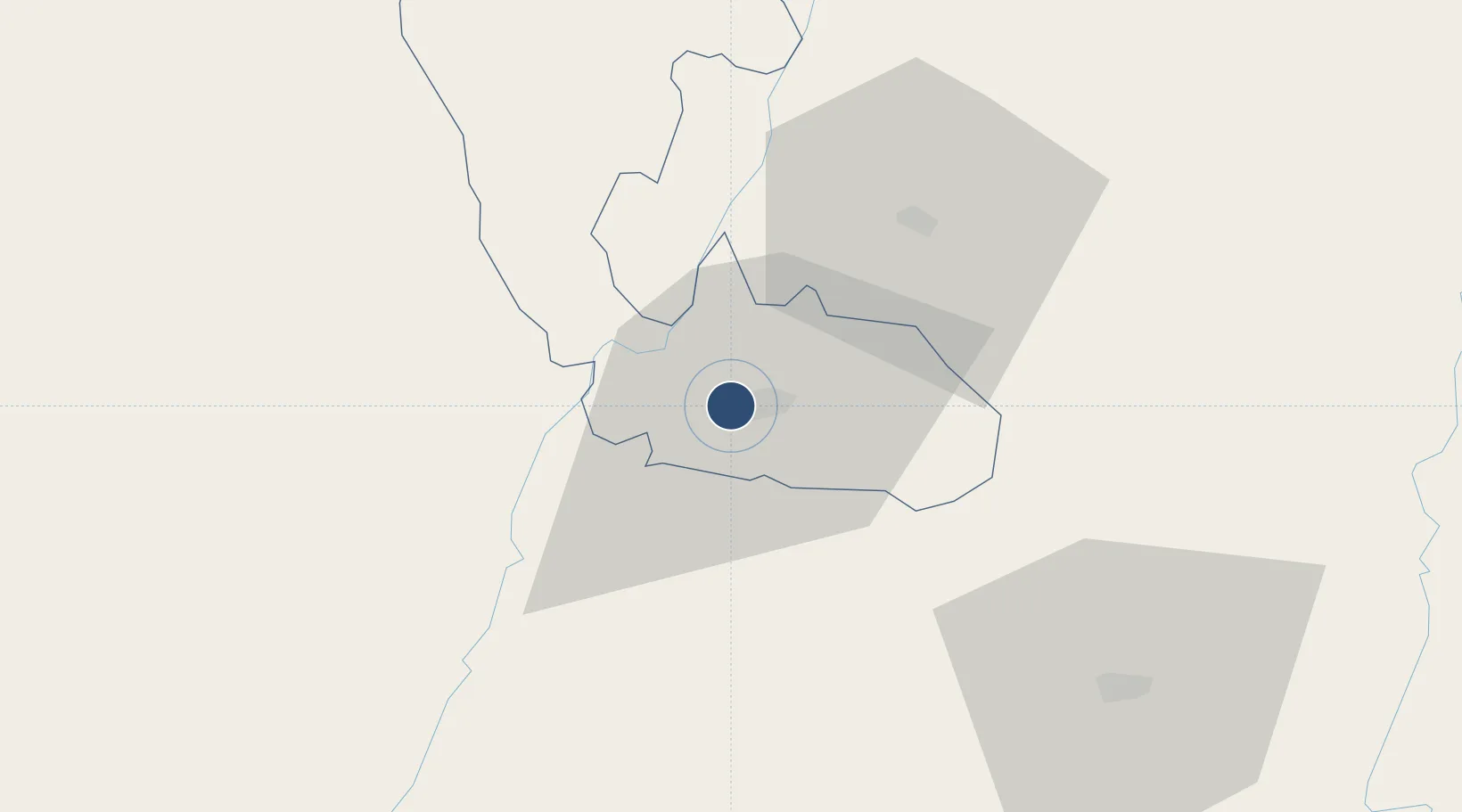
4.8127°, -75.7395°
6,627 ft
Longest runway
1
Runways
4,416 ft
Elevation

Runway & Layout

Matecaña International Airport runway & taxiway layout
Runway & taxiway layout — OpenStreetMap (ODbL) / OurAirports

Radio Frequencies

TWR
118.7 MHz
APP
120.7 MHz
PEREIRA APP
RDO
348.8 MHz
PEREIRA RDO
OurAirports

Navaids

EPO NDB El Paso 225 kHz
MAT NDB Matecana 244 kHz
PEI VOR-DME Pereira 116.90 MHz
OurAirports

Runways · 1

RunwayDimensions SurfaceTrue headingLit
08/26 6,627 × 148ft Asphalt 073°
OurAirports

Airport Specifications

IATA code
PEI
OurAirports
ICAO code
SKPE
OurAirports
Airport class
Medium airport
OurAirports
Scheduled service
Yes
OurAirports
Runway surface
Asphalt
OurAirports
Served city
Pereira
OurAirports

Location

Location of SKPE
Natural Earth 10m (public domain) · Risaralda · SKPE · 4.81, -75.74GoogleOSMYandex

Nearby Logistics Neighbours

Airports
  1. 1Santa Ana Airport25 km
  2. 2La Nubia Airport39 km
  3. 3El Eden Airport40 km
  4. 4Perales Airport80 km
  5. 5Heriberto Gíl Martínez Airport98 km
Nearest neighbours — logibook spatial index (haversine) over the source coordinates
Cities
  1. 1Chinchina23 km
  2. 2Galicia80 km
  3. 3Espinal120 km
  4. 4Itagui151 km
  5. 5Rionegro154 km
Nearest neighbours — logibook spatial index (haversine) over the source coordinates
Ports
  1. 1Buenaventura180 km
  2. 2Turbo380 km
  3. 3Tumaco472 km
  4. 4Covenas512 km
  5. 5Covenas Offshore Term.521 km
Nearest neighbours — logibook spatial index (haversine) over the source coordinates
Trade Zones
  1. 1Pereira International Free Trade Zone17 km
  2. 2Zona Franca Andina38 km
  3. 3Quindío Zona Franca39 km
  4. 4Zona Franca de Ibagué86 km
  5. 5Zona Franca Internacional Del Valle De Aburrá140 km
Nearest neighbours — logibook spatial index (haversine) over the source coordinates
DatabookThe Record of Consolidated Knowledge
Colombia beyond logistics?
Browse databook

All Sources

AirportsOurAirports
Public domain
Portsthe NGA World Port Index
Public domain (US gov)
LocationsUN/LOCODE
UN/LOCODE — free
Trade Zonesthe World Bank SEZ database
CC BY 4.0
Trade ZonesOpen Zone Map
CC BY
InfrastructureOpenStreetMap
ODbL 1.0
← Colombia airports