Seaport · Colombia
TurboCOTRB
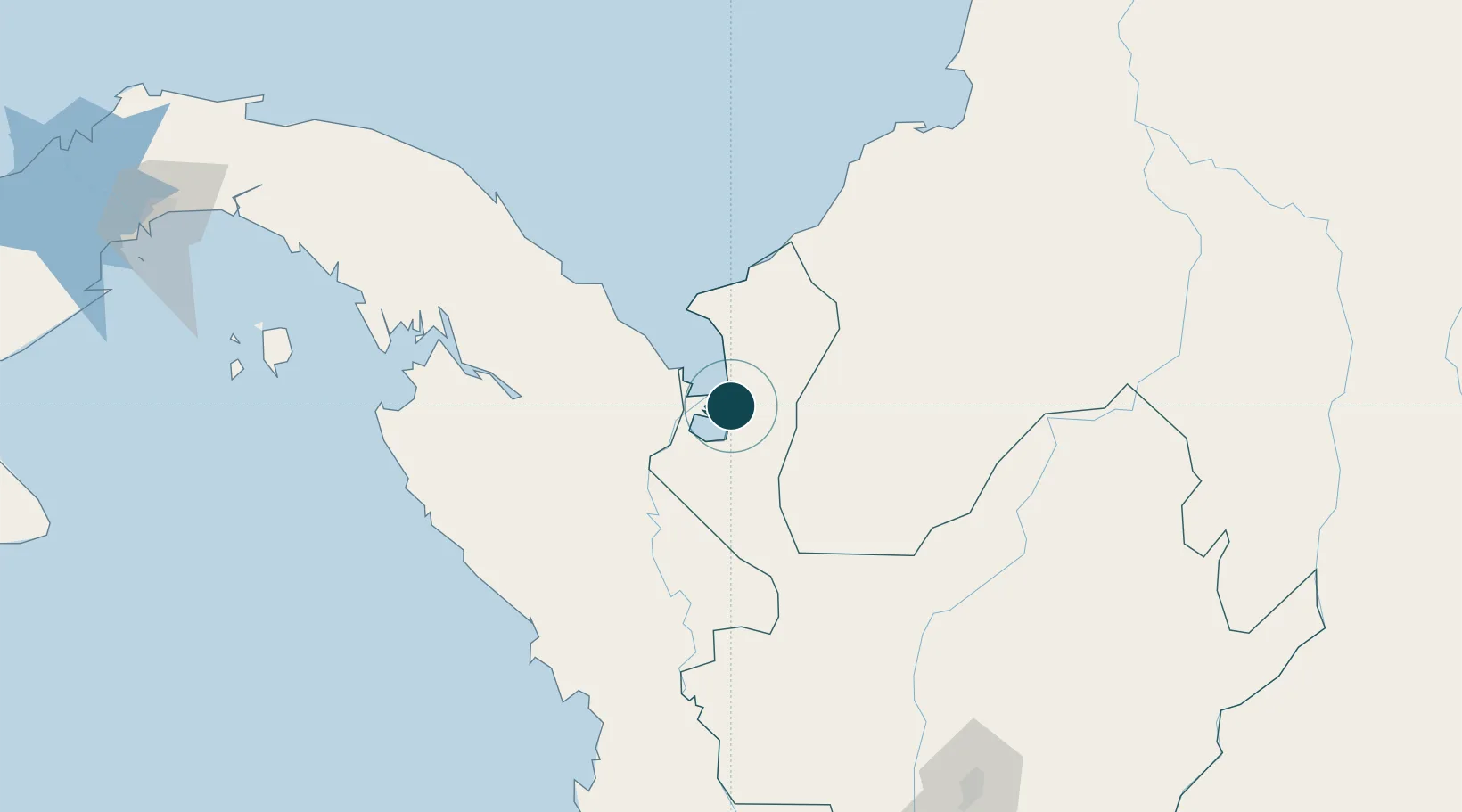
8.0833°, -76.7333°
12.5 m
Channel depth
1
Container terminals
120.7
Port liner connectivity
Channel & Berth Profile
Pilotage, Tugs & Services
Pilotage compulsoryYES
Pilotage availableYES
Tug assistanceYES
Shore powerNO
Potable waterNO
Diesel bunkersNO
MedicalYES
Garbage disposalYES
Facilities & Capabilities
ContainerYES
Ro-Ro—
Liquid bulk—
Dry bulk—
Oil terminal—
Break bulk—
Dry dock—
Repairs—
BunkeringNO
Rail link—
Dangerous cargo—
ISPS securityYES
Harbour Specifications
Harbour size
Very Small
Harbour type
Open Roadstead
Shelter
Fair
Water body
Caribbean Sea; North Atlantic Ocean
Tidal range
1 m
Overhead limit
No
Pilotage
Yes
Liner Connectivity
120.7
PLSCI
Port Liner Shipping Connectivity Index for Turbo, as published by UNCTAD for the latest available quarter. Higher values indicate stronger scheduled liner-shipping integration.
Shown relative to the highest per-port PLSCI in the dataset (1,657.9).
Location
Container Terminals · 1
TURBO
TURBO
Nearby Logistics Neighbours
Ports
- 1Covenas188 km
- 2Covenas Offshore Term.192 km
- 3Mamonal282 km
- 4El Bosque289 km
- 5Cartagena291 km
Cities
- 1Rio Cordoba101 km
- 2Puerto Limón157 km
- 3Covenas Offshore Terminal192 km
- 4Antioquia198 km
- 5Tolú205 km
Airports
- 1Antonio Roldán Betancur Airport30 km
- 2Los Garzones Airport129 km
- 3Bahia Piña Airport169 km
- 4Juan H White Airport170 km
- 5Coveñas Airport186 km
DatabookThe Record of Consolidated Knowledge
Colombia beyond logistics?