Transport Functions
Multimodal
Hub Profile
Place type
Provincial seat
Region
Caldas Department
Population
68,512
Time zone
America/Bogota
Elevation
1,382 m
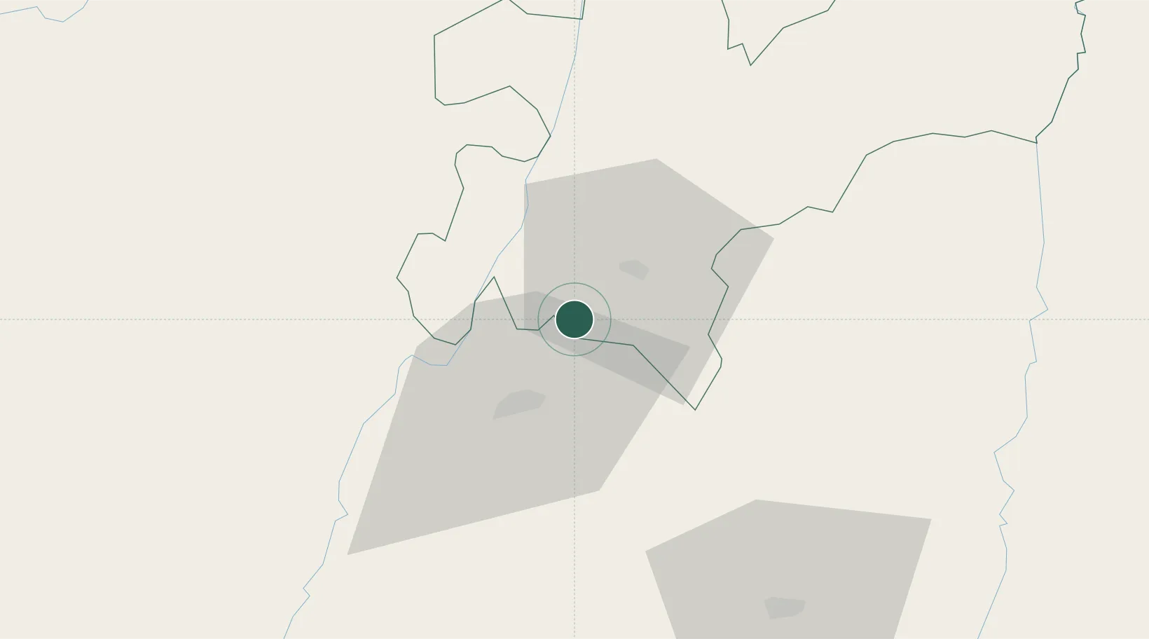
Location
Nearby Logistics Neighbours
Cities
- 1Galicia102 km
- 2Espinal121 km
- 3Itagui133 km
- 4Rionegro134 km
- 5El Poblado139 km
Ports
- 1Buenaventura202 km
- 2Turbo369 km
- 3Tumaco495 km
- 4Covenas495 km
- 5Covenas Offshore Term.504 km
Airports
- 1La Nubia Airport17 km
- 2Matecaña International Airport23 km
- 3Santa Ana Airport46 km
- 4El Eden Airport60 km
- 5Perales Airport80 km
Trade Zones
DatabookThe Record of Consolidated Knowledge
Colombia beyond logistics?