Medium airport · Colombia
El Eden AirportSKAR
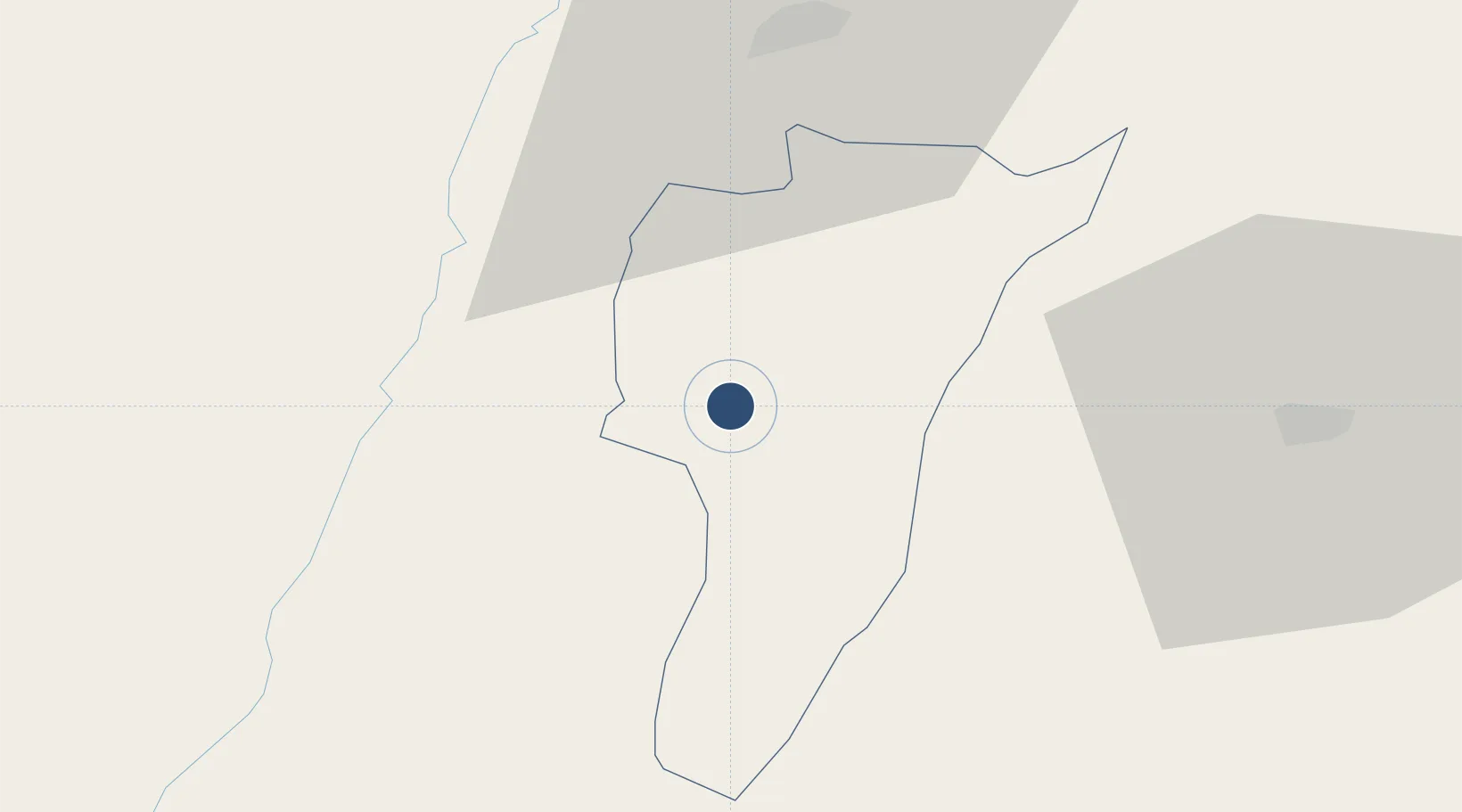
4.4528°, -75.7664°
7,045 ft
Longest runway
1
Runways
3,990 ft
Elevation
Runway & Layout

Radio Frequencies
TWR
118.5 MHz
APP
120.7 MHz
PEREIRA APP
RDO
348.8 MHz
ARMENIA RDO
Navaids
AXM NDB Armenia 315 kHz
Runways · 1
| Runway | Dimensions | Surface | True heading | Lit |
|---|---|---|---|---|
| 02/20 | 7,045 × 118ft | Asphalt | 013° | ✓ |
Airport Specifications
IATA code
AXM
ICAO code
SKAR
Airport class
Medium airport
Scheduled service
Yes
Runway surface
Asphalt
Served city
Armenia
Location
Nearby Logistics Neighbours
Airports
- 1Santa Ana Airport40 km
- 2Matecaña International Airport40 km
- 3Heriberto Gíl Martínez Airport66 km
- 4Perales Airport70 km
- 5La Nubia Airport72 km
Cities
- 1Galicia45 km
- 2Chinchina60 km
- 3Espinal104 km
- 4Yumbo133 km
- 5Candelaria133 km
Ports
- 1Buenaventura158 km
- 2Turbo418 km
- 3Tumaco442 km
- 4Covenas552 km
- 5Covenas Offshore Term.561 km
Trade Zones
- 1Quindío Zona Franca2 km
- 2Pereira International Free Trade Zone50 km
- 3Zona Franca de Ibagué73 km
- 4Zona Franca Andina74 km
- 5Palmaseca Free Trade Zone121 km
DatabookThe Record of Consolidated Knowledge
Colombia beyond logistics?