Transport Functions
Multimodal
Hub Profile
Place type
Provincial seat
Region
Cundinamarca
Population
20,462
Time zone
America/Bogota
Elevation
2,557 m
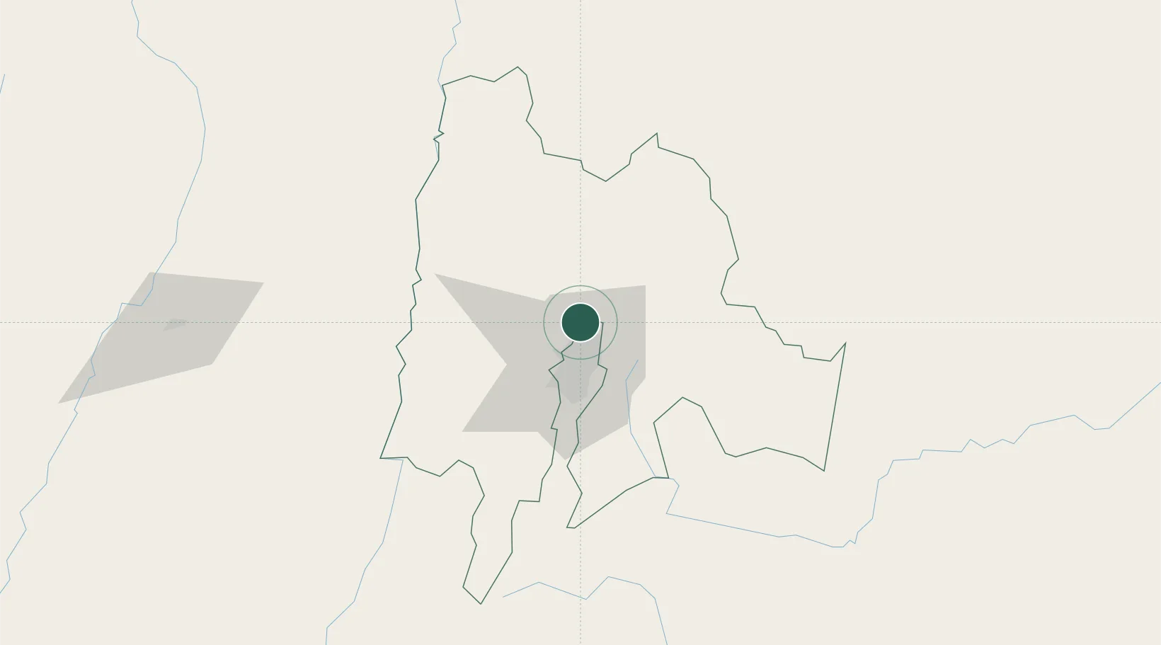
Location
Nearby Logistics Neighbours
Ports
- 1Buenaventura345 km
- 2Turbo465 km
- 3Covenas541 km
- 4Covenas Offshore Term.551 km
- 5Tumaco615 km
Airports
- 1El Dorado International Airport14 km
- 2Vanguardia Airport90 km
- 3German Olano Air Base97 km
- 4Mariquita Airport97 km
- 5Santiago Vila Airport98 km
Trade Zones
DatabookThe Record of Consolidated Knowledge
Colombia beyond logistics?