Free Trade Zone · Colombia
Zona Franca Internacional Del Valle De Aburrá Active
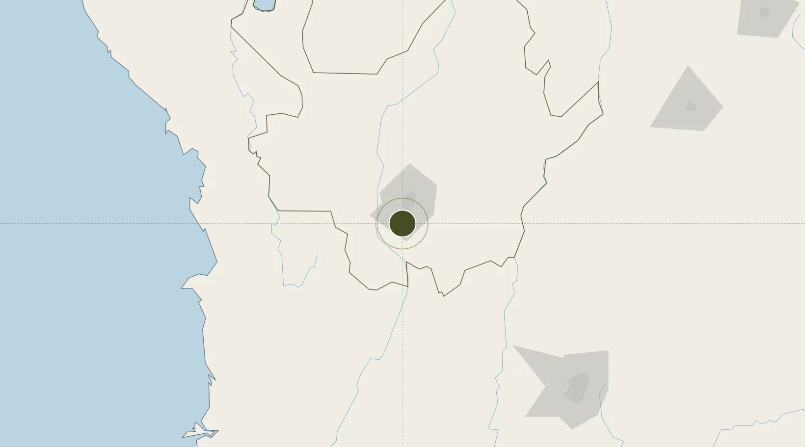
6.0672°, -75.6341°
20 ha
Zone area
254.9 km
Nearest port
17.6 km
Nearest airport
Gateway access
Zone profile
Zone type
Free Trade Zone
Region
Antioquia
Status
Active
Management
Private
Operator
Zona Franca Internacional Del Valle De Aburrá, SAS
Legal framework
Law 1004/2005 Decree 383 and 4051
Location
Nearby Logistics Neighbours
Ports
- 1Turbo255 km
- 2Buenaventura290 km
- 3Covenas373 km
- 4Covenas Offshore Term.382 km
- 5Mamonal473 km
Airports
- 1Enrique Olaya Herrera Airport18 km
- 2Jose Maria Córdova International Airport26 km
- 3La Nubia Airport117 km
- 4El Caraño Airport119 km
- 5German Olano Air Base126 km
Cities
- 1Itagui12 km
- 2El Poblado18 km
- 3Rionegro29 km
- 4Antioquia57 km
- 5Chinchina122 km
Trade Zones
- 1Zona Franca Rio Negro26 km
- 2Zona Franca Andina112 km
- 3Pereira International Free Trade Zone134 km
- 4Quindío Zona Franca179 km
- 5Zona Franca de Ibagué199 km
DatabookThe Record of Consolidated Knowledge
Colombia beyond logistics?