Channel & Berth Profile
Pilotage, Tugs & Services
Pilotage compulsoryYES
Pilotage availableYES
Tug assistanceYES
MedicalYES
Garbage disposalYES
Facilities & Capabilities
Container—
Ro-Ro—
Liquid bulk—
Dry bulk—
Oil terminal—
Break bulk—
Dry dock—
RepairsNO
Bunkering—
Rail linkYES
Dangerous cargo—
ISPS security—
Harbour Specifications
Harbour size
Small
Harbour type
Open Roadstead
Shelter
Poor
Water body
Caribbean Sea; North Atlantic Ocean
Pilotage
Yes
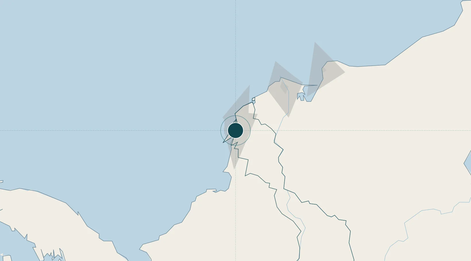
Location
Nearby Logistics Neighbours
Ports
- 1El Bosque9 km
- 2Cartagena11 km
- 3Covenas Offshore Term.94 km
- 4Covenas102 km
- 5Barranquilla109 km
Cities
- 1Cartagena5 km
- 2Contecar7 km
- 3Sociedad Portuaria Regional Cartagena9 km
- 4Turbaco13 km
- 5El Carmen de Bolívar80 km
Airports
DatabookThe Record of Consolidated Knowledge
Colombia beyond logistics?