Medium airport · Colombia
German Olano Air BaseSKPQ
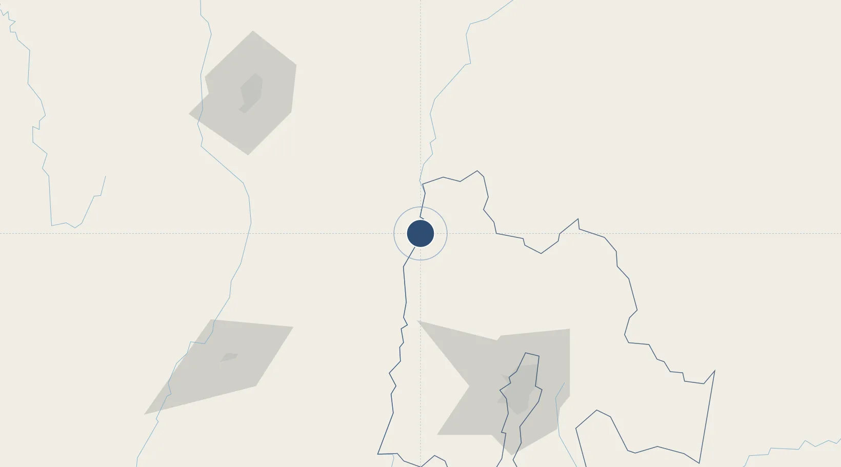
5.4836°, -74.6574°
9,987 ft
Longest runway
1
Runways
566 ft
Elevation
Runway & Layout

Radio Frequencies
GND
121.6 MHz
ACC
127.9 MHz
TWR/APP
126.3 MHz
Runways · 1
| Runway | Dimensions | Surface | True heading | Lit |
|---|---|---|---|---|
| 01/19 | 9,987 × 164ft | Asphalt | 003° | ✓ |
Airport Specifications
IATA code
PAL
ICAO code
SKPQ
Airport class
Medium airport
Scheduled service
No
Runway surface
Asphalt
Served city
La Dorada
Location
Nearby Logistics Neighbours
Airports
- 1Mariquita Airport39 km
- 2La Nubia Airport103 km
- 3El Dorado International Airport104 km
- 4Jose Maria Córdova International Airport114 km
- 5Perales Airport129 km
Cities
- 1Puerto Boyaca41 km
- 2Cajica94 km
- 3Chia95 km
- 4Cota97 km
- 5Tocancipá103 km
Ports
- 1Buenaventura321 km
- 2Turbo369 km
- 3Covenas452 km
- 4Covenas Offshore Term.462 km
- 5Mamonal546 km
Trade Zones
- 1Zona Franca de Tocancipa97 km
- 2Occidente Free Trade Zone97 km
- 3Celta Trade Park98 km
- 4Zona Franca INTEXZONA99 km
- 5Metropolitana Free Trade Zone99 km
DatabookThe Record of Consolidated Knowledge
Colombia beyond logistics?