Transport Functions
Multimodal
Hub Profile
Place type
Urban district
Region
Antioquia
Time zone
America/Bogota
Elevation
1,519 m
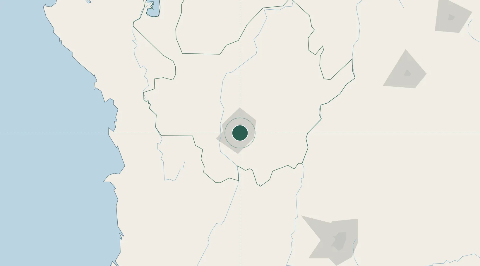
Location
Nearby Logistics Neighbours
Cities
- 1Itagui7 km
- 2Rionegro22 km
- 3Antioquia46 km
- 4Chinchina139 km
- 5Puerto Boyaca139 km
Ports
- 1Turbo244 km
- 2Buenaventura308 km
- 3Covenas356 km
- 4Covenas Offshore Term.366 km
- 5Mamonal456 km
Airports
- 1Enrique Olaya Herrera Airport3 km
- 2Jose Maria Córdova International Airport17 km
- 3German Olano Air Base130 km
- 4El Caraño Airport132 km
- 5La Nubia Airport133 km
Trade Zones
DatabookThe Record of Consolidated Knowledge
Colombia beyond logistics?