Medium airport · Colombia
El Caraño AirportSKUI
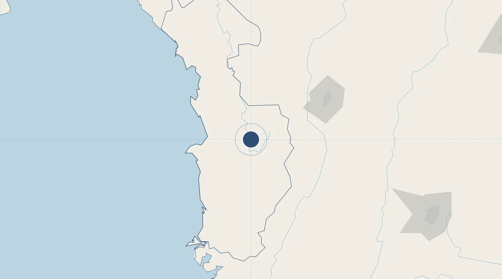
5.6908°, -76.6412°
4,593 ft
Longest runway
1
Runways
204 ft
Elevation
Runway & Layout

Radio Frequencies
TWR
118.4 MHz
RDO
348.8 MHz
QUIBDO RDO
Navaids
UIB VOR-DME Quibdo 113.20 MHz
Runways · 1
| Runway | Dimensions | Surface | True heading | Lit |
|---|---|---|---|---|
| 13/31 | 4,593 × 98ft | Asphalt | 122° | ✓ |
Airport Specifications
IATA code
UIB
ICAO code
SKUI
Airport class
Medium airport
Scheduled service
Yes
Runway surface
Asphalt
Served city
Quibdó
Location
Nearby Logistics Neighbours
Airports
- 1Reyes Murillo Airport69 km
- 2José Celestino Mutis Airport101 km
- 3Santa Ana Airport129 km
- 4Enrique Olaya Herrera Airport130 km
- 5Matecaña International Airport140 km
Cities
- 1Itagui127 km
- 2Antioquia132 km
- 3El Poblado132 km
- 4Chinchina141 km
- 5Rionegro148 km
Ports
- 1Buenaventura206 km
- 2Turbo266 km
- 3Covenas428 km
- 4Covenas Offshore Term.435 km
- 5Balboa485 km
Trade Zones
- 1Zona Franca Internacional Del Valle De Aburrá119 km
- 2Pereira International Free Trade Zone124 km
- 3Zona Franca Andina143 km
- 4Zona Franca Rio Negro145 km
- 5Quindío Zona Franca166 km
DatabookThe Record of Consolidated Knowledge
Colombia beyond logistics?