Medium airport · Colombia

Enrique Olaya Herrera AirportSKMD
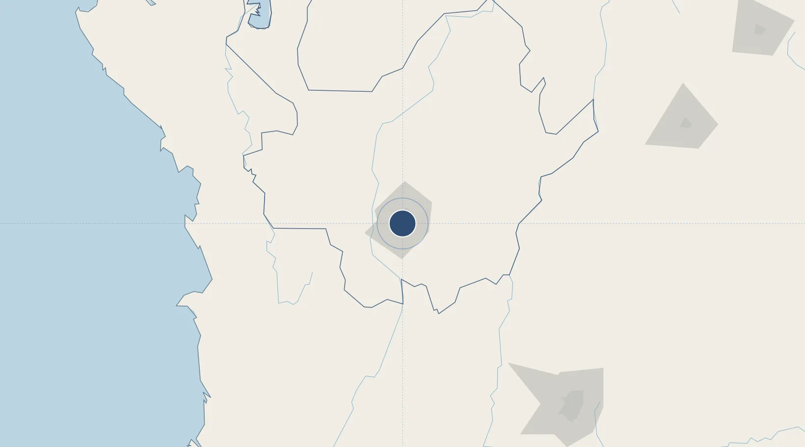
6.2197°, -75.5906°
8,202 ft
Longest runway
1
Runways
4,949 ft
Elevation

Runway & Layout

Enrique Olaya Herrera Airport runway & taxiway layout
Runway & taxiway layout — OpenStreetMap (ODbL) / OurAirports

Radio Frequencies

TWR
118.9 MHz
GND
121.9 MHz
APP
121.1 MHz
MEDELLIN APP
OurAirports

Runways · 1

RunwayDimensions SurfaceTrue headingLit
02/20 8,202 × 125ft Asphalt 016°
OurAirports

Airport Specifications

IATA code
EOH
OurAirports
ICAO code
SKMD
OurAirports
Airport class
Medium airport
OurAirports
Scheduled service
Yes
OurAirports
Runway surface
Asphalt
OurAirports
Served city
Medellín
OurAirports

Location

Location of SKMD
Natural Earth 10m (public domain) · Antioquia · SKMD · 6.22, -75.59GoogleOSMYandex

Nearby Logistics Neighbours

Airports
  1. 1Jose Maria Córdova International Airport20 km
  2. 2El Caraño Airport130 km
  3. 3German Olano Air Base132 km
  4. 4La Nubia Airport133 km
  5. 5Mariquita Airport137 km
Nearest neighbours — logibook spatial index (haversine) over the source coordinates
Cities
  1. 1El Poblado3 km
  2. 2Itagui6 km
  3. 3Rionegro24 km
  4. 4Antioquia44 km
  5. 5Chinchina139 km
Nearest neighbours — logibook spatial index (haversine) over the source coordinates
Ports
  1. 1Turbo243 km
  2. 2Buenaventura307 km
  3. 3Covenas356 km
  4. 4Covenas Offshore Term.365 km
  5. 5Mamonal456 km
Nearest neighbours — logibook spatial index (haversine) over the source coordinates
Trade Zones
  1. 1Zona Franca Internacional Del Valle De Aburrá18 km
  2. 2Zona Franca Rio Negro21 km
  3. 3Zona Franca Andina128 km
  4. 4Pereira International Free Trade Zone152 km
  5. 5Quindío Zona Franca196 km
Nearest neighbours — logibook spatial index (haversine) over the source coordinates
DatabookThe Record of Consolidated Knowledge
Colombia beyond logistics?
Browse databook

All Sources

AirportsOurAirports
Public domain
Portsthe NGA World Port Index
Public domain (US gov)
LocationsUN/LOCODE
UN/LOCODE — free
Trade Zonesthe World Bank SEZ database
CC BY 4.0
Trade ZonesOpen Zone Map
CC BY
InfrastructureOpenStreetMap
ODbL 1.0
← Colombia airports