Free Industrial Zone · Colombia

Zona Franca Rio Negro Active
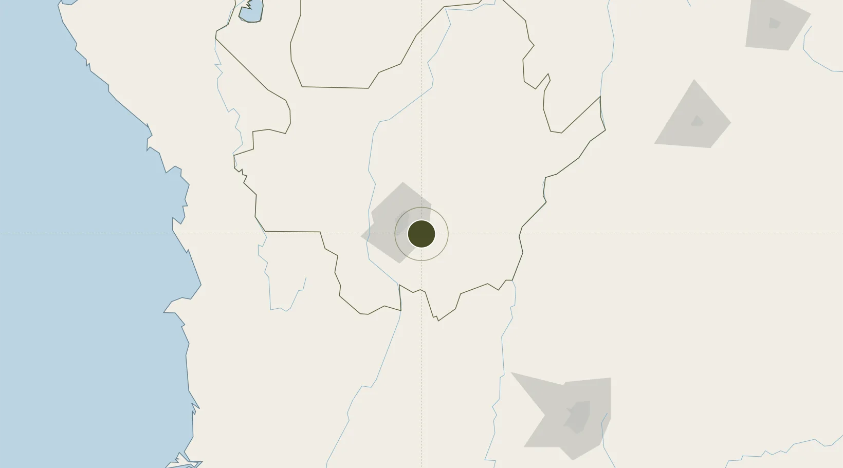
6.1569°, -75.4157°
53 ha
Zone area
258.9 km
Nearest port
1.2 km
Nearest airport

Gateway access

Nearest neighbours — logibook spatial index (haversine) over the source coordinates

Zone profile

Zone type
Free Industrial Zone
the World Bank SEZ database
Region
Antioquia
the World Bank SEZ database
Status
Active
the World Bank SEZ database
Established
1993
the World Bank SEZ database
Management
Private management
the World Bank SEZ database
Operator
Zona Franca Rio Negro S.A.
the World Bank SEZ database
Regulatory authority
Comision Intersectorial de Zonas Francas
the World Bank SEZ database
Legal framework
Law 1004/2005 Decree 383 and 4051
the World Bank SEZ database

Location

Location of COL7
Natural Earth 10m (public domain) · Antioquia · COL7 · 6.16, -75.42GoogleOSMYandex

Fiscal & incentives

Corporate tax
25%
the World Bank SEZ database
Tax relief
Reduced fixed-rate at 20%
the World Bank SEZ database
Relief duration
Perpetual
the World Bank SEZ database
VAT
No exemption
the World Bank SEZ database
Import duty (inputs)
100% exempt
the World Bank SEZ database
Import duty (capex)
100% exempt
the World Bank SEZ database
Profit repatriation
No exemption
the World Bank SEZ database
Capital gains
No exemption
the World Bank SEZ database
Withholding tax
No exemption
the World Bank SEZ database
Min. investment
$0 - $2.4M in first three years depending on size of company assets
the World Bank SEZ database
Min. export
0%
the World Bank SEZ database
Employment incentive
No exemption
the World Bank SEZ database
Developer incentive
Yes
the World Bank SEZ database

Nearby Logistics Neighbours

Ports
  1. 1Turbo259 km
  2. 2Buenaventura312 km
  3. 3Covenas364 km
  4. 4Covenas Offshore Term.373 km
  5. 5Mamonal463 km
Nearest neighbours — logibook spatial index (haversine) over the source coordinates
Airports
  1. 1Jose Maria Córdova International Airport1 km
  2. 2Enrique Olaya Herrera Airport21 km
  3. 3German Olano Air Base112 km
  4. 4Mariquita Airport120 km
  5. 5La Nubia Airport126 km
Nearest neighbours — logibook spatial index (haversine) over the source coordinates
Cities
  1. 1Rionegro4 km
  2. 2El Poblado18 km
  3. 3Itagui20 km
  4. 4Antioquia62 km
  5. 5Puerto Boyaca121 km
Nearest neighbours — logibook spatial index (haversine) over the source coordinates
Trade Zones
  1. 1Zona Franca Internacional Del Valle De Aburrá26 km
  2. 2Zona Franca Andina121 km
  3. 3Pereira International Free Trade Zone150 km
  4. 4Quindío Zona Franca193 km
  5. 5Zona Franca de Ibagué203 km
Nearest neighbours — logibook spatial index (haversine) over the source coordinates
DatabookThe Record of Consolidated Knowledge
Colombia beyond logistics?
Browse databook

All Sources

Trade Zonesthe World Bank SEZ database
CC BY 4.0
Portsthe NGA World Port Index
Public domain (US gov)
AirportsOurAirports
Public domain
LocationsUN/LOCODE
UN/LOCODE — free
← Colombia trade zones