Transport Functions
Multimodal
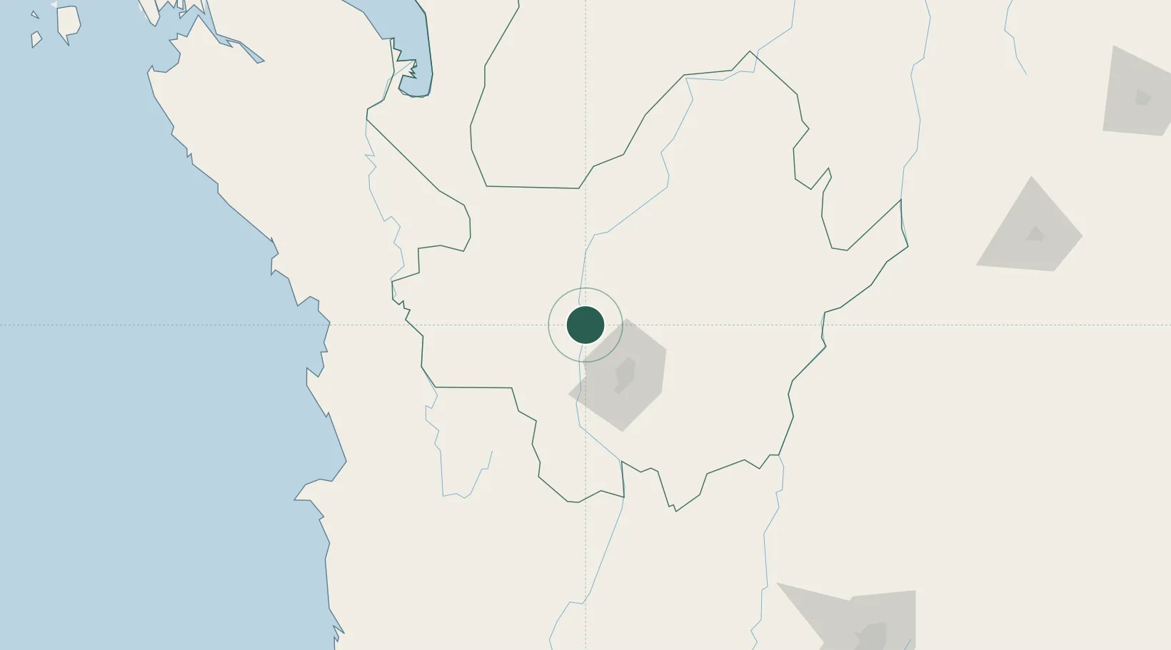
Hub Profile
Place type
Populated place
Region
Tolima Department
Time zone
America/Bogota
Elevation
688 m
Location
Nearby Logistics Neighbours
Cities
- 1El Poblado46 km
- 2Itagui49 km
- 3Rionegro65 km
- 4Chinchina178 km
- 5Puerto Boyaca180 km
Ports
- 1Turbo198 km
- 2Covenas319 km
- 3Buenaventura327 km
- 4Covenas Offshore Term.328 km
- 5Mamonal420 km
Airports
- 1Enrique Olaya Herrera Airport44 km
- 2Jose Maria Córdova International Airport61 km
- 3El Caraño Airport132 km
- 4El Bagre Airport161 km
- 5Juan H White Airport172 km
Trade Zones
DatabookThe Record of Consolidated Knowledge
Colombia beyond logistics?