UN/LOCODE hub · Colombia
COITG

Itagui

6.1667°, -75.6000°
1
Transport functions

Transport Functions

Multimodal
UN/LOCODE

Hub Profile

Region
ANT
GeoNames

Location

Location of COITG
Natural Earth 10m (public domain) · ANT · COITG · 6.17, -75.60GoogleOSMYandex

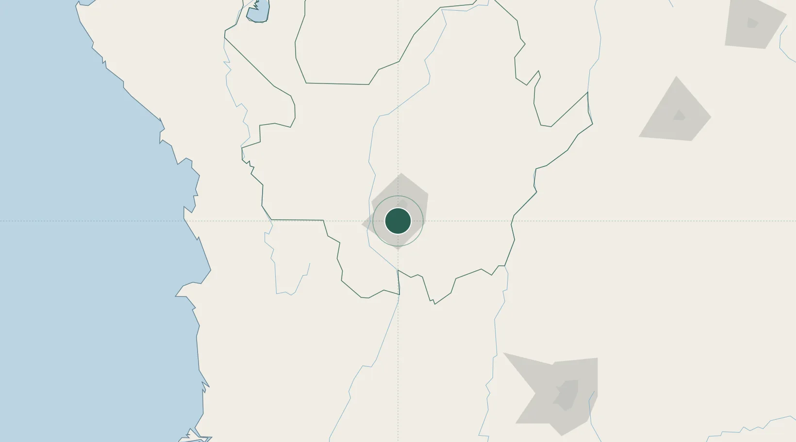
Nearby Logistics Neighbours

Cities
  1. 1El Poblado7 km
  2. 2Rionegro24 km
  3. 3Antioquia49 km
  4. 4Chinchina133 km
  5. 5Puerto Boyaca141 km
Nearest neighbours — logibook spatial index (haversine) over the source coordinates
Ports
  1. 1Turbo247 km
  2. 2Buenaventura301 km
  3. 3Covenas362 km
  4. 4Covenas Offshore Term.371 km
  5. 5Mamonal462 km
Nearest neighbours — logibook spatial index (haversine) over the source coordinates
Airports
  1. 1Enrique Olaya Herrera Airport6 km
  2. 2Jose Maria Córdova International Airport20 km
  3. 3El Caraño Airport127 km
  4. 4La Nubia Airport127 km
  5. 5German Olano Air Base129 km
Nearest neighbours — logibook spatial index (haversine) over the source coordinates
Trade Zones
  1. 1Zona Franca Internacional Del Valle De Aburrá12 km
  2. 2Zona Franca Rio Negro20 km
  3. 3Zona Franca Andina122 km
  4. 4Pereira International Free Trade Zone146 km
  5. 5Quindío Zona Franca190 km
Nearest neighbours — logibook spatial index (haversine) over the source coordinates
DatabookThe Record of Consolidated Knowledge
Colombia beyond logistics?
Browse databook

All Sources

LocationsUN/LOCODE
UN/LOCODE — free
Portsthe NGA World Port Index
Public domain (US gov)
AirportsOurAirports
Public domain
Trade Zonesthe World Bank SEZ database
CC BY 4.0
Trade ZonesOpen Zone Map
CC BY
← Colombia locations