Transport Functions
Multimodal
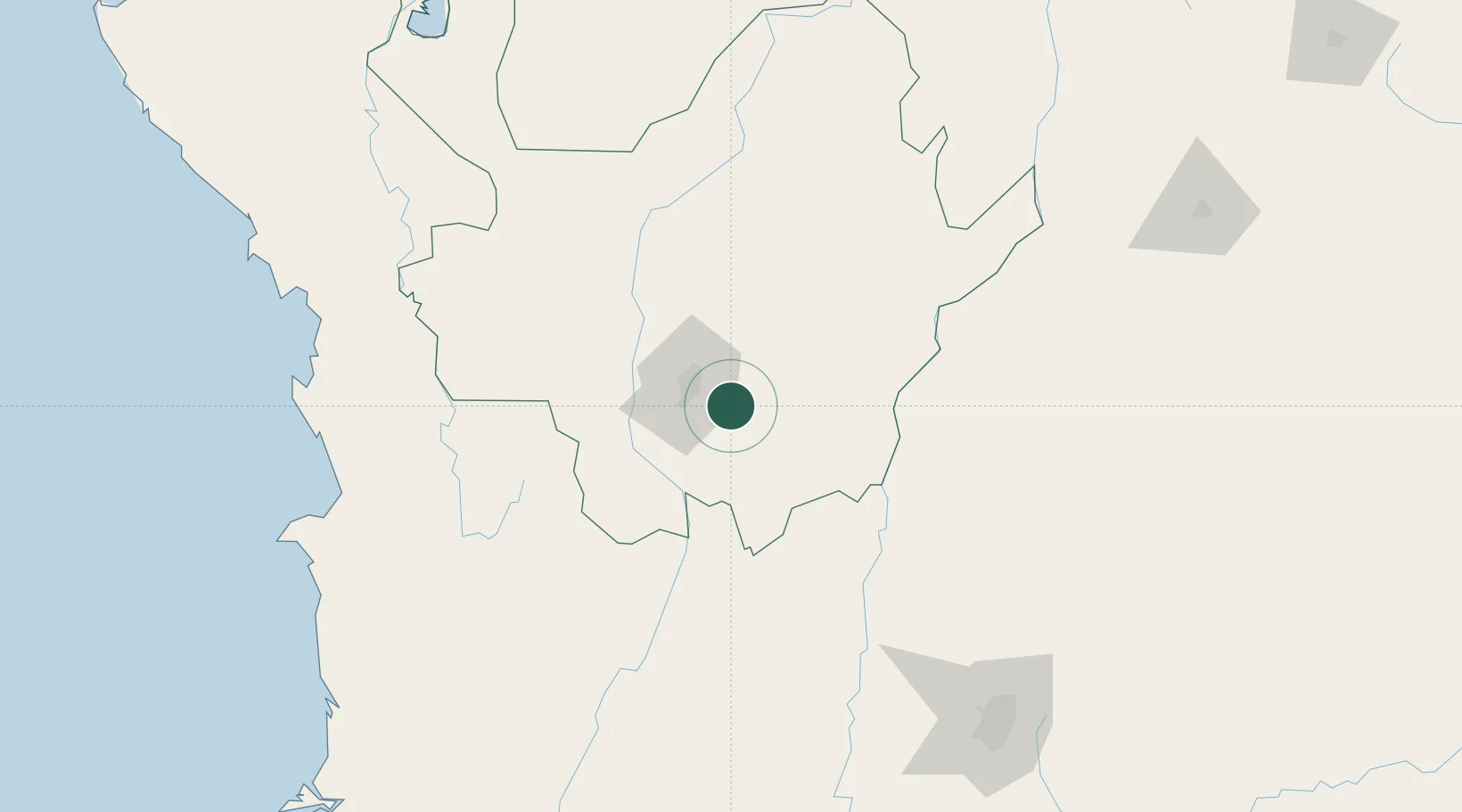
Hub Profile
Place type
Provincial seat
Region
Antioquia
Population
128,153
Time zone
America/Bogota
Elevation
2,090 m
Location
Nearby Logistics Neighbours
Cities
- 1El Poblado22 km
- 2Itagui24 km
- 3Antioquia65 km
- 4Puerto Boyaca118 km
- 5Chinchina134 km
Ports
- 1Turbo262 km
- 2Buenaventura314 km
- 3Covenas365 km
- 4Covenas Offshore Term.375 km
- 5Mamonal464 km
Airports
- 1Jose Maria Córdova International Airport5 km
- 2Enrique Olaya Herrera Airport24 km
- 3German Olano Air Base109 km
- 4Mariquita Airport118 km
- 5La Nubia Airport125 km
Trade Zones
DatabookThe Record of Consolidated Knowledge
Colombia beyond logistics?