Free Trade Zone · Malaysia

Westport Free Zone Active
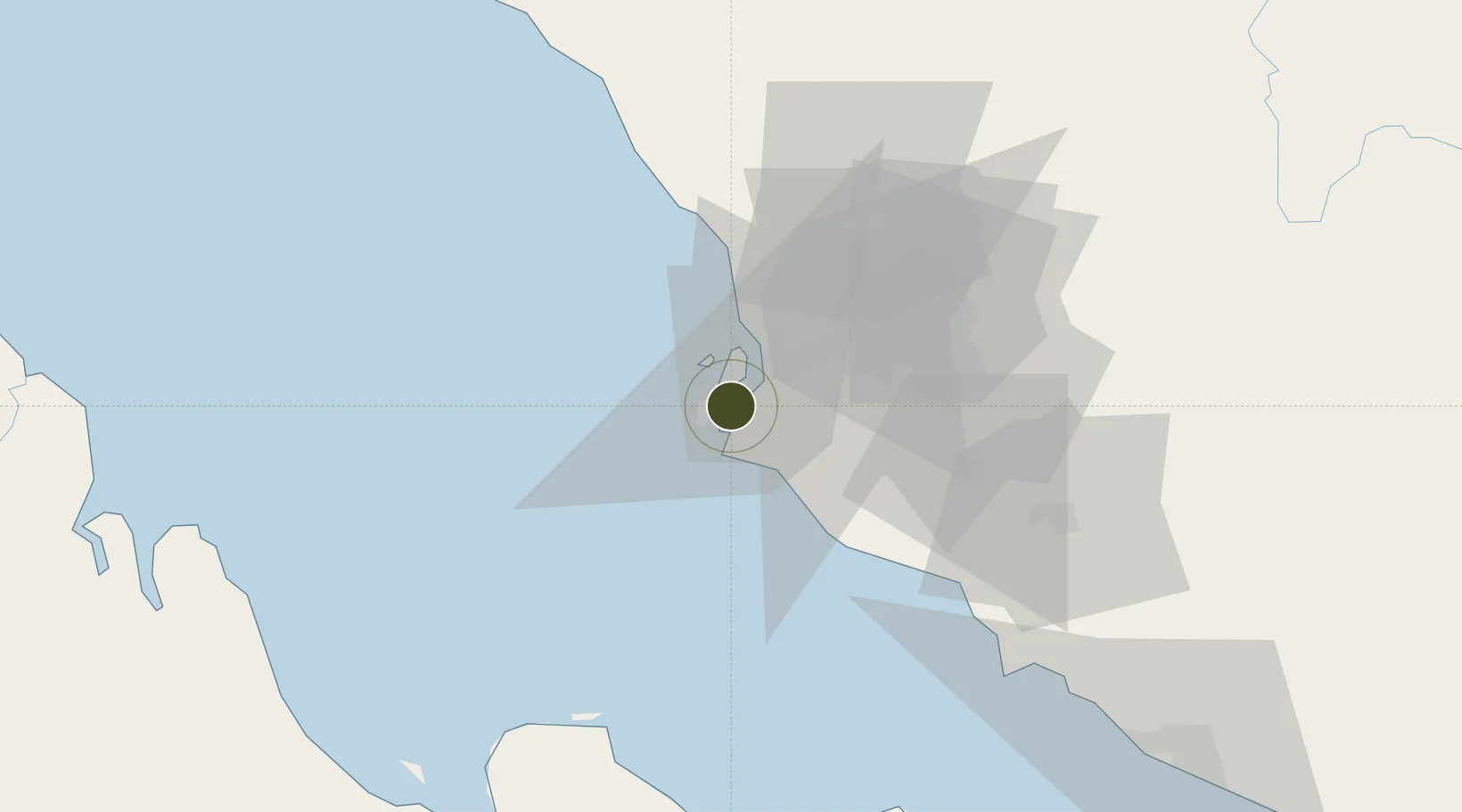
2.9498°, 101.3053°
110 ha
Zone area
11.9 km
Nearest port
33.7 km
Nearest airport

Gateway access

Nearest neighbours — logibook spatial index (haversine) over the source coordinates

Zone profile

Zone type
Free Trade Zone
Open Zone Map
Region
Selangor
Open Zone Map
Status
Active
Open Zone Map
Management
Public-Private Partnership
Open Zone Map
Operator
Port Klang Authority(Westports Malaysia Sdn Bhd)
Open Zone Map
Legal framework
Free Zones Act of 1990 (Act 438)
Open Zone Map

Location

Location of ozm-2801
Natural Earth 10m (public domain) · Selangor · ozm-2801 · 2.95, 101.31GoogleOSMYandex

Nearby Logistics Neighbours

Ports
  1. 1Port Klang12 km
  2. 2Port Dickson71 km
  3. 3Pelabuhan Sungai Udang121 km
  4. 4Teluk Anson123 km
  5. 5Melaka134 km
Nearest neighbours — logibook spatial index (haversine) over the source coordinates
Airports
  1. 1Sultan Abdul Aziz Shah International Airport34 km
  2. 2Kuala Lumpur International Airport50 km
  3. 3Malacca International Airport130 km
  4. 4Pinang Kampai Airport150 km
  5. 5Pulau Pangkor Airport166 km
Nearest neighbours — logibook spatial index (haversine) over the source coordinates
Cities
  1. 1Northport/Pt Klang4 km
  2. 2Pulau Indah5 km
  3. 3Port Klang (Ferry Port)10 km
  4. 4Port Klang (Pelabuhan Klang)10 km
  5. 5Carey Island Estate11 km
Nearest neighbours — logibook spatial index (haversine) over the source coordinates
Trade Zones
  1. 1Pulau Indah Mils Logistics Hub1 km
  2. 2Port Klang Free Zone3 km
  3. 3Pulau Indah Free Industrial Zone4 km
  4. 4Selangor Halal Hub Pulau Indah (Shh)4 km
  5. 5Selangor Bio Bay (Sbb)5 km
Nearest neighbours — logibook spatial index (haversine) over the source coordinates
DatabookThe Record of Consolidated Knowledge
Malaysia beyond logistics?
Browse databook

All Sources

Trade ZonesOpen Zone Map
CC BY
Portsthe NGA World Port Index
Public domain (US gov)
AirportsOurAirports
Public domain
LocationsUN/LOCODE
UN/LOCODE — free
← Malaysia trade zones