Free Zone · Egypt

Ishmailia Public Free Zone
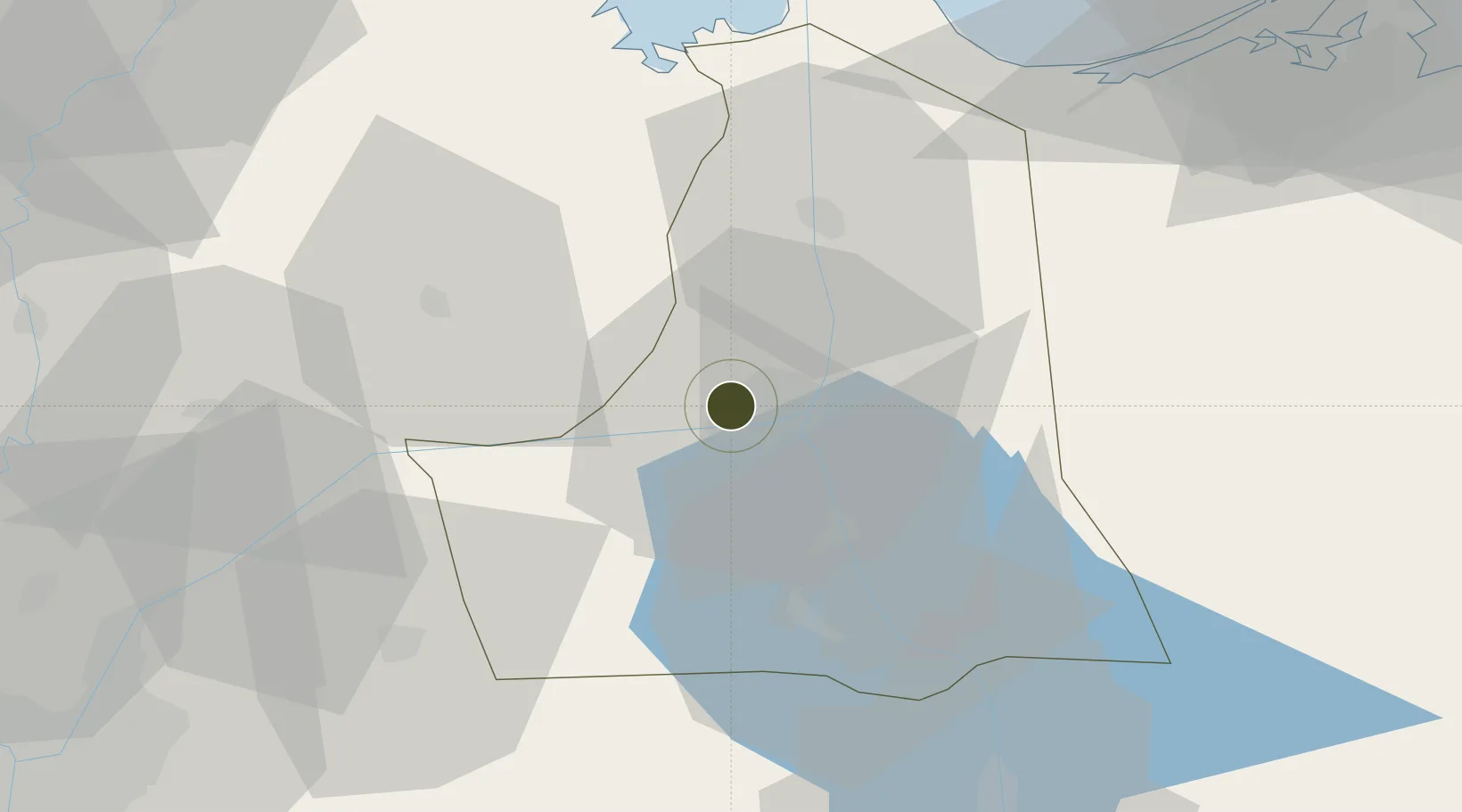
30.6021°, 32.2046°
65 ha
Zone area
7.8 km
Nearest port
3.0 km
Nearest airport

Gateway access

Nearest neighbours — logibook spatial index (haversine) over the source coordinates

Zone profile

Zone type
Free Zone
the World Bank SEZ database
Region
Al Isma`iliyah
the World Bank SEZ database
Established
1995
the World Bank SEZ database
Management
Public agency
the World Bank SEZ database
Operator
General Authority for Investment and Free Zones
the World Bank SEZ database
Regulatory authority
General Authority for Investment and Free Zones
the World Bank SEZ database
Legal framework
Investment Law No 8
the World Bank SEZ database

Location

Location of EGY5
Natural Earth 10m (public domain) · Al Isma`iliyah · EGY5 · 30.60, 32.20GoogleOSMYandex

Fiscal & incentives

Corporate tax
23%
the World Bank SEZ database
Tax relief
Reduced fixed-rate at 1%
the World Bank SEZ database
Relief duration
Perpetual
the World Bank SEZ database
VAT
No exemption
the World Bank SEZ database
Import duty (inputs)
100% exempt
the World Bank SEZ database
Import duty (capex)
100% exempt
the World Bank SEZ database
Profit repatriation
100% exempt from profit transfer tax
the World Bank SEZ database
Capital gains
No exemption
the World Bank SEZ database
Withholding tax
No exemption
the World Bank SEZ database
Min. investment
None
the World Bank SEZ database
Min. export
50%
the World Bank SEZ database
Employment incentive
No exemption
the World Bank SEZ database
Developer incentive
No established framework
the World Bank SEZ database

Nearby Logistics Neighbours

Ports
  1. 1El Ismailiya8 km
  2. 2Bur Sa'id75 km
  3. 3As Suways78 km
  4. 4El-Adabiya86 km
  5. 5Sokhna Port Gas Tanker Terminal103 km
Nearest neighbours — logibook spatial index (haversine) over the source coordinates
Airports
  1. 1Ismailia Air Base3 km
  2. 2Abu Suwayr Air Base11 km
  3. 3Bilbeis 2 Airfield54 km
  4. 4Bilbeis Air Base62 km
  5. 5Capital International Airport69 km
Nearest neighbours — logibook spatial index (haversine) over the source coordinates
Cities
  1. 110th of Ramadan City61 km
  2. 2Port Said69 km
  3. 3Port Said East70 km
  4. 4Badr70 km
  5. 5As Suways (Suez)77 km
Nearest neighbours — logibook spatial index (haversine) over the source coordinates
Trade Zones
  1. 110th of Ramadan Free Zone58 km
  2. 2Port Said Public Free Zone72 km
  3. 3Suez Public Free Zone81 km
  4. 4Ain Shams University Investment Zone84 km
  5. 5Arab Al Olayqat Investment Zone90 km
Nearest neighbours — logibook spatial index (haversine) over the source coordinates
DatabookThe Record of Consolidated Knowledge
Egypt beyond logistics?
Browse databook

All Sources

Trade Zonesthe World Bank SEZ database
CC BY 4.0
Portsthe NGA World Port Index
Public domain (US gov)
AirportsOurAirports
Public domain
LocationsUN/LOCODE
UN/LOCODE — free
← Egypt trade zones