Channel & Berth Profile
Pilotage, Tugs & Services
Pilotage compulsoryYES
Potable waterYES
MedicalYES
Facilities & Capabilities
Container—
Ro-Ro—
Liquid bulk—
Dry bulk—
Oil terminal—
Break bulk—
Dry dock—
Repairs—
Bunkering—
Rail link—
Dangerous cargo—
ISPS security—
Harbour Specifications
Harbour size
Small
Harbour type
Canal or Lake
Shelter
Excellent
Water body
Suez Canal; Red Sea; Indian Ocean
Tidal range
2 m
Overhead limit
Yes
Pilotage
Yes
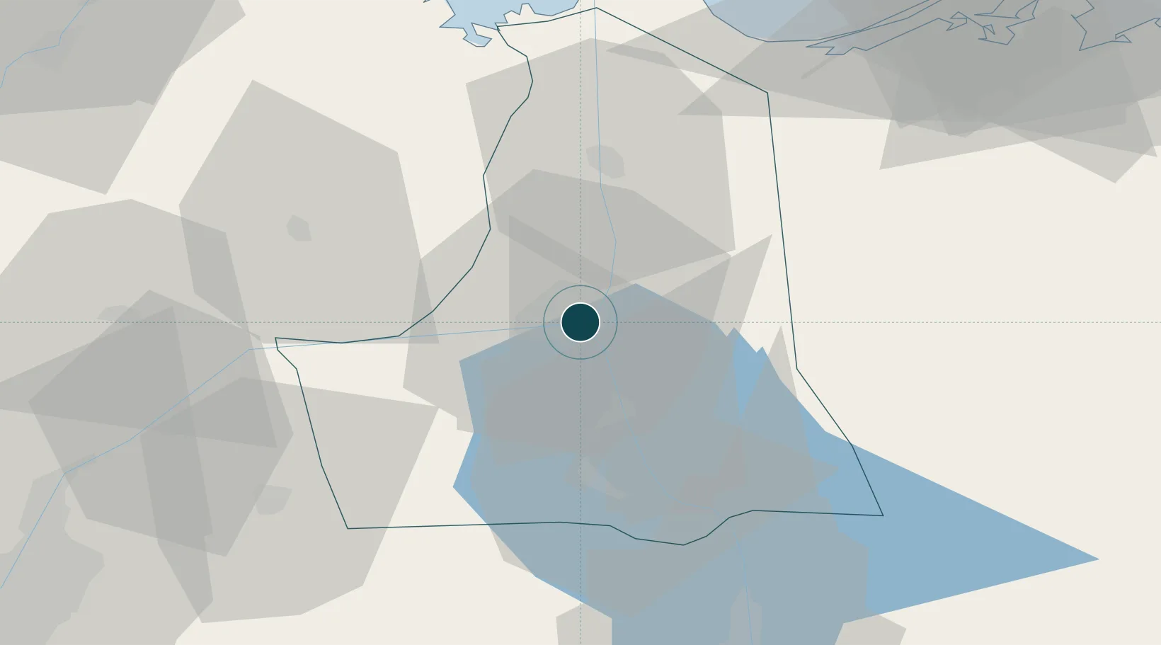
Location
Nearby Logistics Neighbours
Ports
- 1As Suways73 km
- 2Bur Sa'id76 km
- 3El-Adabiya82 km
- 4Sokhna Port Gas Tanker Terminal100 km
- 5Ain Sukhna Terminal104 km
Cities
- 110th of Ramadan City66 km
- 2Port Said70 km
- 3Port Said East71 km
- 4As Suways (Suez)72 km
- 5Badr74 km
Airports
- 1Ismailia Air Base5 km
- 2Abu Suwayr Air Base18 km
- 3Bilbeis 2 Airfield61 km
- 4Bilbeis Air Base69 km
- 5Capital International Airport72 km
Trade Zones
DatabookThe Record of Consolidated Knowledge
Egypt beyond logistics?