Medium airport · Egypt

Abu Suwayr Air BaseHE35
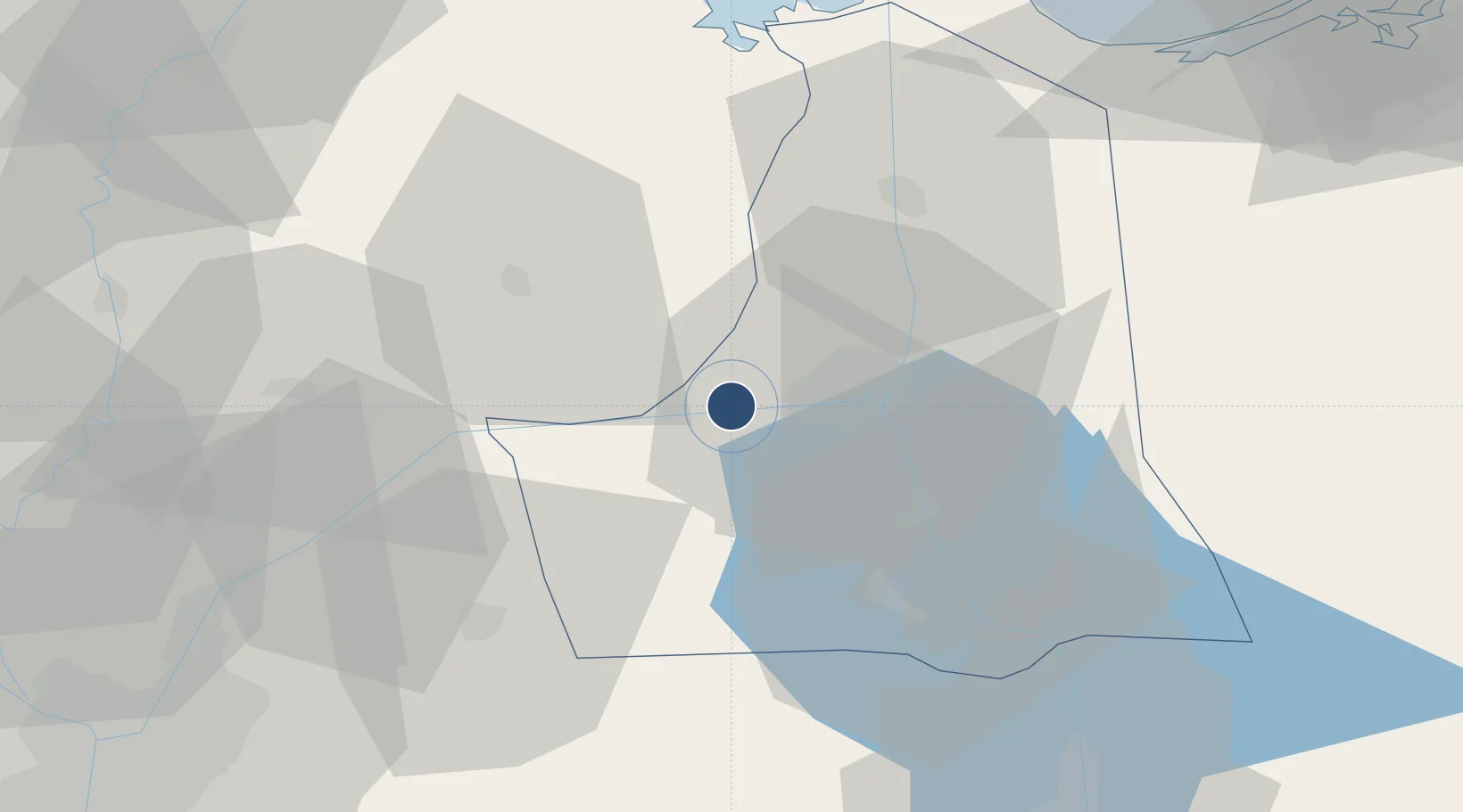
30.5727°, 32.0953°
9,752 ft
Longest runway
2
Runways
49 ft
Elevation

Runway & Layout

Abu Suwayr Air Base runway & taxiway layout
Runway & taxiway layout — OpenStreetMap (ODbL) / OurAirports

Runways · 2

RunwayDimensions SurfaceTrue headingLit
09/27 9,752 × 148ft Asphalt 090°
11/29 9,712 × 148ft Asphalt 112°
OurAirports

Airport Specifications

Airport class
Medium airport
OurAirports
Scheduled service
No
OurAirports
Runway surface
Asphalt
OurAirports
Served city
Abu Suwayr
OurAirports

Location

Location of HE35
Natural Earth 10m (public domain) · Al Isma`iliyah · HE35 · 30.57, 32.10GoogleOSMYandex

Nearby Logistics Neighbours

Airports
  1. 1Ismailia Air Base14 km
  2. 2Bilbeis 2 Airfield43 km
  3. 3Bilbeis Air Base51 km
  4. 4Capital International Airport62 km
  5. 5Al Mansurah Airbase77 km
Nearest neighbours — logibook spatial index (haversine) over the source coordinates
Cities
  1. 110th of Ramadan City50 km
  2. 2Badr61 km
  3. 3Port Said75 km
  4. 4Port Said East76 km
  5. 5As Suways (Suez)79 km
Nearest neighbours — logibook spatial index (haversine) over the source coordinates
Ports
  1. 1El Ismailiya18 km
  2. 2Bur Sa'id80 km
  3. 3As Suways80 km
  4. 4El-Adabiya86 km
  5. 5Sokhna Port Gas Tanker Terminal102 km
Nearest neighbours — logibook spatial index (haversine) over the source coordinates
Trade Zones
  1. 1Ishmailia Public Free Zone11 km
  2. 210th of Ramadan Free Zone48 km
  3. 3Ain Shams University Investment Zone74 km
  4. 4Port Said Public Free Zone77 km
  5. 5Arab Al Olayqat Investment Zone79 km
Nearest neighbours — logibook spatial index (haversine) over the source coordinates
DatabookThe Record of Consolidated Knowledge
Egypt beyond logistics?
Browse databook

All Sources

AirportsOurAirports
Public domain
Portsthe NGA World Port Index
Public domain (US gov)
LocationsUN/LOCODE
UN/LOCODE — free
Trade Zonesthe World Bank SEZ database
CC BY 4.0
Trade ZonesOpen Zone Map
CC BY
InfrastructureOpenStreetMap
ODbL 1.0
← Egypt airports