UN/LOCODE hub · Egypt
EGSUZ

As Suways (Suez)

29.9667°, 32.5167°
2
Transport functions

Transport Functions

Port
Road
As Suways (Suez) is also a profiled seaport →
UN/LOCODE

Hub Profile

Region
SUZ
GeoNames

Location

Location of EGSUZ
Natural Earth 10m (public domain) · SUZ · EGSUZ · 29.97, 32.52GoogleOSMYandex

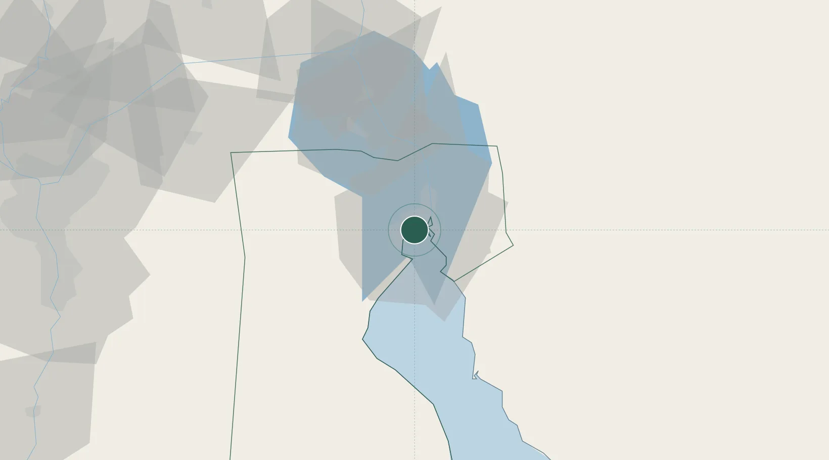
Nearby Logistics Neighbours

Cities
  1. 1Al Adabiyah9 km
  2. 2Marsa Oriental Petrochemicals35 km
  3. 3Sokhna Port38 km
  4. 4Ras Sudr43 km
  5. 5Galala Marina56 km
Nearest neighbours — logibook spatial index (haversine) over the source coordinates
Ports
  1. 1El-Adabiya12 km
  2. 2Sokhna Port Gas Tanker Terminal35 km
  3. 3Ain Sukhna Terminal38 km
  4. 4Ras Sudr46 km
  5. 5El Ismailiya72 km
Nearest neighbours — logibook spatial index (haversine) over the source coordinates
Airports
  1. 1Capital International Airport66 km
  2. 2Ismailia Air Base75 km
  3. 3Abu Suwayr Air Base79 km
  4. 4Bardawil International Airport79 km
  5. 5Bilbeis 2 Airfield95 km
Nearest neighbours — logibook spatial index (haversine) over the source coordinates
Trade Zones
  1. 1Suez Public Free Zone5 km
  2. 2Suez Canal Economic Zone35 km
  3. 3Ishmailia Public Free Zone77 km
  4. 410th of Ramadan Free Zone83 km
  5. 5Ain Shams University Investment Zone106 km
Nearest neighbours — logibook spatial index (haversine) over the source coordinates
DatabookThe Record of Consolidated Knowledge
Egypt beyond logistics?
Browse databook

All Sources

LocationsUN/LOCODE
UN/LOCODE — free
Portsthe NGA World Port Index
Public domain (US gov)
AirportsOurAirports
Public domain
Trade Zonesthe World Bank SEZ database
CC BY 4.0
Trade ZonesOpen Zone Map
CC BY
← Egypt locations