Export Processing Zone · Egypt

10th of Ramadan Free Zone Under Development
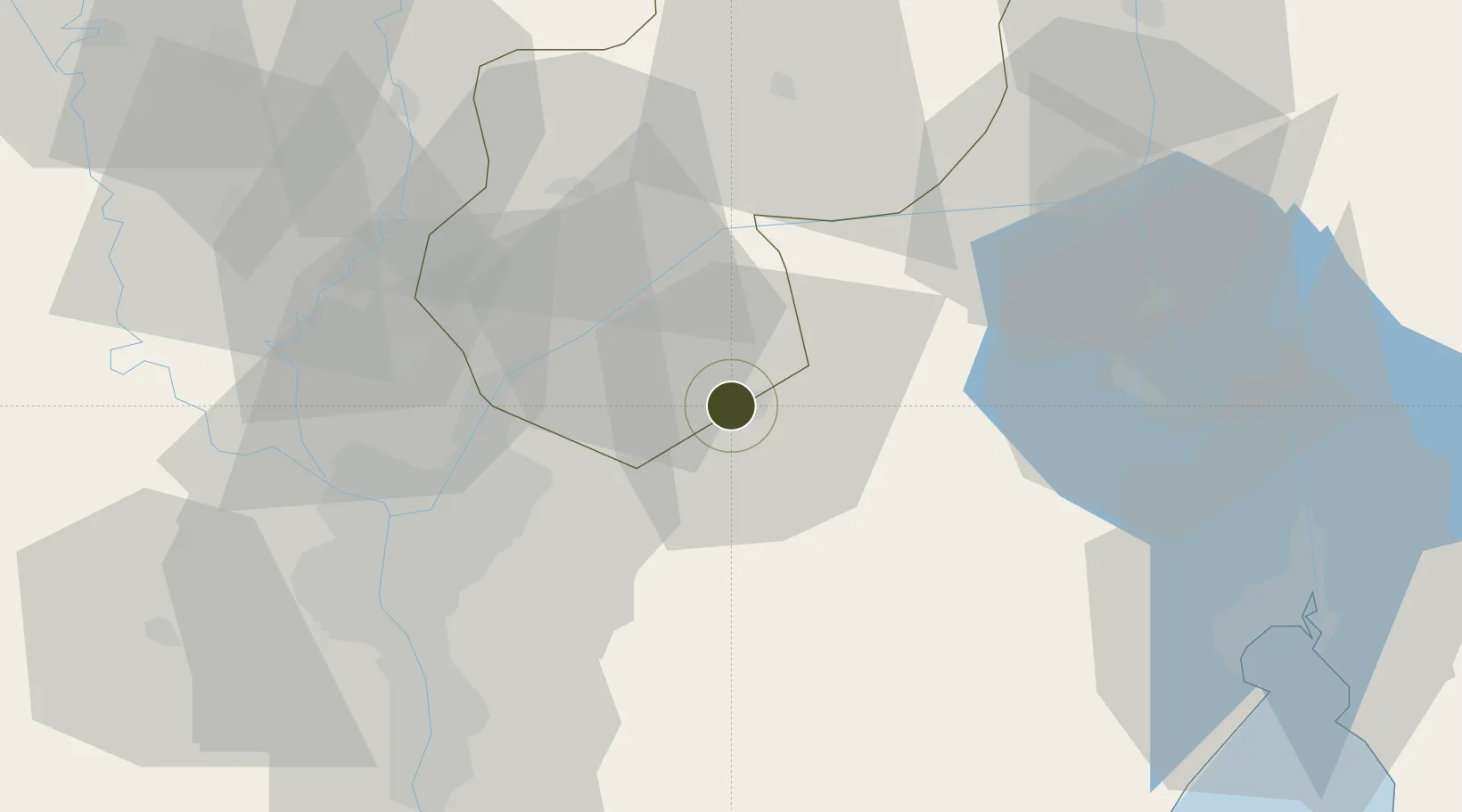
30.2807°, 31.7309°
2 ha
Zone area
62.8 km
Nearest port
16.3 km
Nearest airport

Gateway access

Nearest neighbours — logibook spatial index (haversine) over the source coordinates

Zone profile

Zone type
Export Processing Zone
Open Zone Map
Region
Ash Sharqiyah
Open Zone Map
Status
Under Development
Open Zone Map
Management
Public
Open Zone Map
Operator
Government of Egypt
Open Zone Map
Legal framework
Law No. 83 on Special Economic Zones
Open Zone Map

Location

Location of ozm-1869
Natural Earth 10m (public domain) · Ash Sharqiyah · ozm-1869 · 30.28, 31.73GoogleOSMYandex

Nearby Logistics Neighbours

Ports
  1. 1El Ismailiya63 km
  2. 2El-Adabiya85 km
  3. 3As Suways86 km
  4. 4Sokhna Port Gas Tanker Terminal90 km
  5. 5Ain Sukhna Terminal93 km
Nearest neighbours — logibook spatial index (haversine) over the source coordinates
Airports
  1. 1Bilbeis 2 Airfield16 km
  2. 2Bilbeis Air Base18 km
  3. 3Capital International Airport26 km
  4. 4Cairo International Airport37 km
  5. 5Almaza Air Force Base41 km
Nearest neighbours — logibook spatial index (haversine) over the source coordinates
Cities
  1. 110th of Ramadan City6 km
  2. 2Badr16 km
  3. 3Bahtim48 km
  4. 4Qalyub53 km
  5. 5Ain Sukhna56 km
Nearest neighbours — logibook spatial index (haversine) over the source coordinates
Trade Zones
  1. 1Ain Shams University Investment Zone28 km
  2. 2Arab Al Olayqat Investment Zone35 km
  3. 3Nasr Free Economic Zone41 km
  4. 4City Center Almaza Investment Zone42 km
  5. 5Nasr City Public Free Zone46 km
Nearest neighbours — logibook spatial index (haversine) over the source coordinates
DatabookThe Record of Consolidated Knowledge
Egypt beyond logistics?
Browse databook

All Sources

Trade ZonesOpen Zone Map
CC BY
Portsthe NGA World Port Index
Public domain (US gov)
AirportsOurAirports
Public domain
LocationsUN/LOCODE
UN/LOCODE — free
← Egypt trade zones