Seaport · Egypt
Bur Sa'idEGPSD
31.2667°, 32.3000°
14.0 m
Channel depth
2
Container terminals
343.4
Port liner connectivity
Channel & Berth Profile
Pilotage, Tugs & Services
Pilotage compulsoryYES
Pilotage advisableYES
Tug assistanceYES
Shore powerYES
Potable waterYES
Diesel bunkersYES
MedicalYES
Garbage disposalYES
Facilities & Capabilities
Container—
Ro-Ro—
Liquid bulk—
Dry bulk—
Oil terminal—
Break bulk—
Dry dockNO
RepairsNO
BunkeringYES
Rail linkYES
Dangerous cargo—
ISPS security—
Harbour Specifications
Harbour size
Large
Harbour type
Canal or Lake
Shelter
Excellent
Water body
Mediterranean Sea; North Atlantic Ocean
Pilotage
Yes
Liner Connectivity
343.4
PLSCI
Port Liner Shipping Connectivity Index for Bur Sa'id, as published by UNCTAD for the latest available quarter. Higher values indicate stronger scheduled liner-shipping integration.
Shown relative to the highest per-port PLSCI in the dataset (1,657.9).
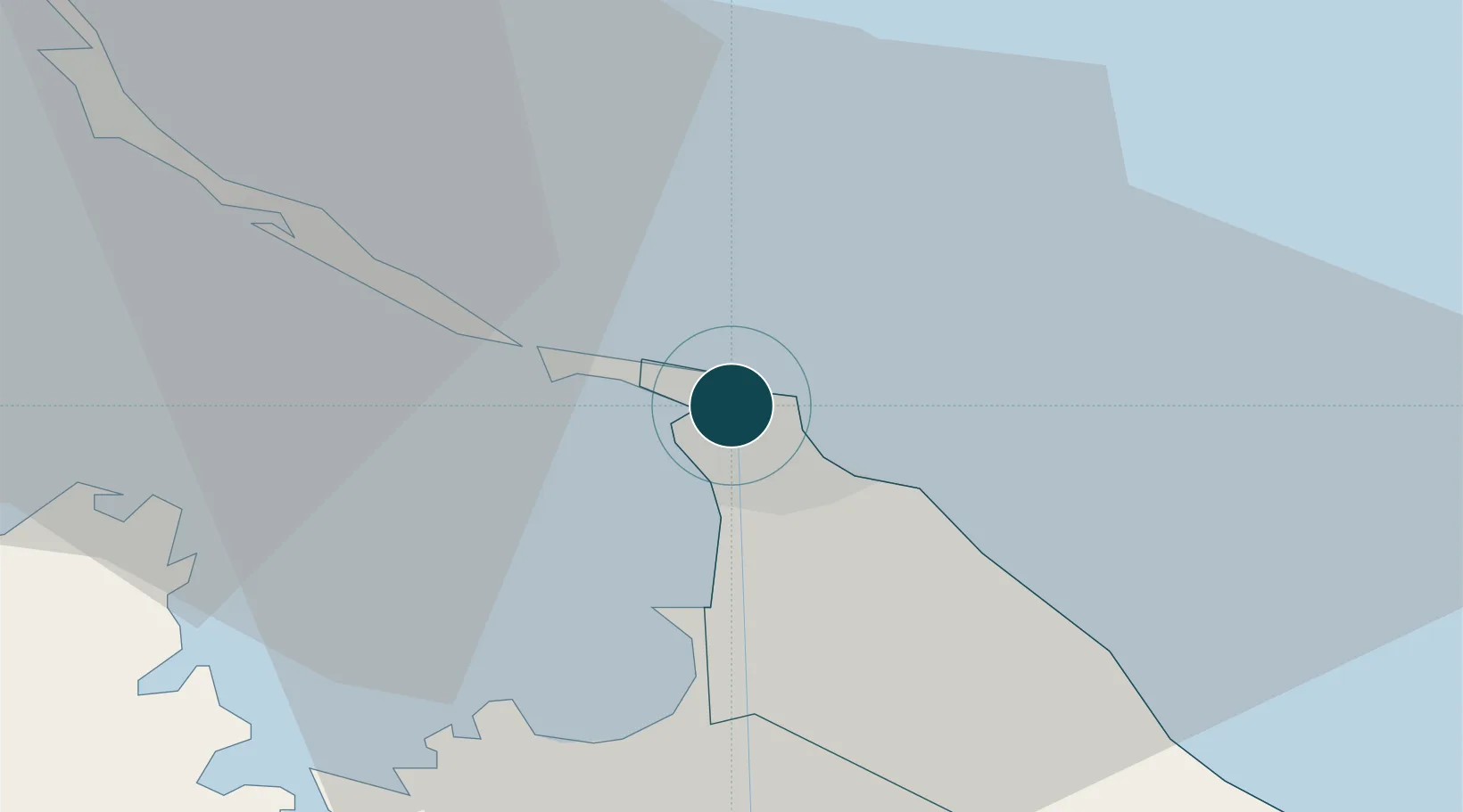
Location
Container Terminals · 2
PORT SAID CONTR & CARGO HANDLING (PSCCHC)
PSCCH HOLDING CO. FOR LAND & MARITIME TRANSPORT
SUEZ CANAL CONTAINER TERMINAL (SCCT)
SCCT
Nearby Logistics Neighbours
Ports
- 1Damietta58 km
- 2El Ismailiya76 km
- 3Al Arish146 km
- 4As Suways147 km
- 5El-Adabiya157 km
Cities
- 1Port Said East7 km
- 2Marsa Egyptian Propylene & Polypropylene15 km
- 3Dumyat (Damietta)56 km
- 4Al Mansurah93 km
- 5Samannud108 km
Airports
- 1Port Said International Airport6 km
- 2Ismailia Air Base75 km
- 3Abu Suwayr Air Base80 km
- 4Al Mansurah Airbase89 km
- 5Bilbeis 2 Airfield111 km
Trade Zones
DatabookThe Record of Consolidated Knowledge
Egypt beyond logistics?