Medium airport · Egypt

Ismailia Air BaseHEIS
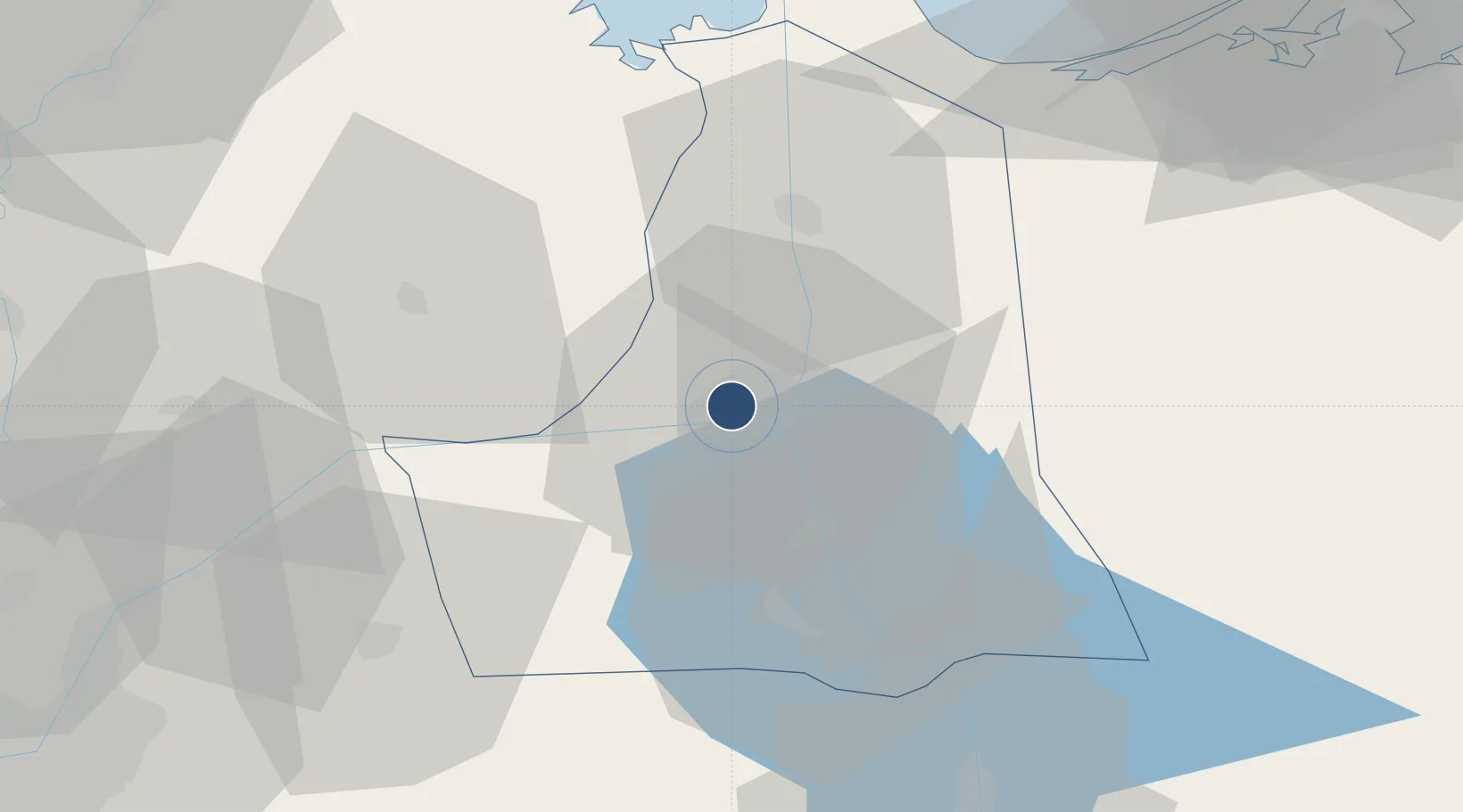
30.5980°, 32.2357°
10,555 ft
Longest runway
1
Runways
43 ft
Elevation

Runway & Layout

Ismailia Air Base runway & taxiway layout
Runway & taxiway layout — OpenStreetMap (ODbL) / OurAirports

Radio Frequencies

TWR
118.1 MHz
APP
119.1 MHz
RDO
397.5 MHz
UN ISMAILIYAH OPS
RDO
681 MHz
UN ISMAILIYAH OPS
RDO
1325.7 MHz
UN ISMAILIYAH OPS
OurAirports

Runways · 1

RunwayDimensions SurfaceTrue headingLit
13/31 10,555 × 148ft Asphalt 129°
OurAirports

Airport Specifications

ICAO code
HEIS
OurAirports
Airport class
Medium airport
OurAirports
Scheduled service
No
OurAirports
Runway surface
Asphalt
OurAirports
Served city
Ismailia
OurAirports

Location

Location of HEIS
Natural Earth 10m (public domain) · Al Isma`iliyah · HEIS · 30.60, 32.24GoogleOSMYandex

Nearby Logistics Neighbours

Airports
  1. 1Abu Suwayr Air Base14 km
  2. 2Bilbeis 2 Airfield57 km
  3. 3Bilbeis Air Base65 km
  4. 4Capital International Airport70 km
  5. 5Port Said International Airport76 km
Nearest neighbours — logibook spatial index (haversine) over the source coordinates
Cities
  1. 110th of Ramadan City63 km
  2. 2Port Said69 km
  3. 3Port Said East70 km
  4. 4Badr72 km
  5. 5As Suways (Suez)75 km
Nearest neighbours — logibook spatial index (haversine) over the source coordinates
Ports
  1. 1El Ismailiya5 km
  2. 2Bur Sa'id75 km
  3. 3As Suways76 km
  4. 4El-Adabiya84 km
  5. 5Sokhna Port Gas Tanker Terminal103 km
Nearest neighbours — logibook spatial index (haversine) over the source coordinates
Trade Zones
  1. 1Ishmailia Public Free Zone3 km
  2. 210th of Ramadan Free Zone60 km
  3. 3Port Said Public Free Zone72 km
  4. 4Suez Public Free Zone79 km
  5. 5Ain Shams University Investment Zone87 km
Nearest neighbours — logibook spatial index (haversine) over the source coordinates
DatabookThe Record of Consolidated Knowledge
Egypt beyond logistics?
Browse databook

All Sources

AirportsOurAirports
Public domain
Portsthe NGA World Port Index
Public domain (US gov)
LocationsUN/LOCODE
UN/LOCODE — free
Trade Zonesthe World Bank SEZ database
CC BY 4.0
Trade ZonesOpen Zone Map
CC BY
InfrastructureOpenStreetMap
ODbL 1.0
← Egypt airports