Seaport · Egypt
Sokhna Port Gas Tanker TerminalEGSOK
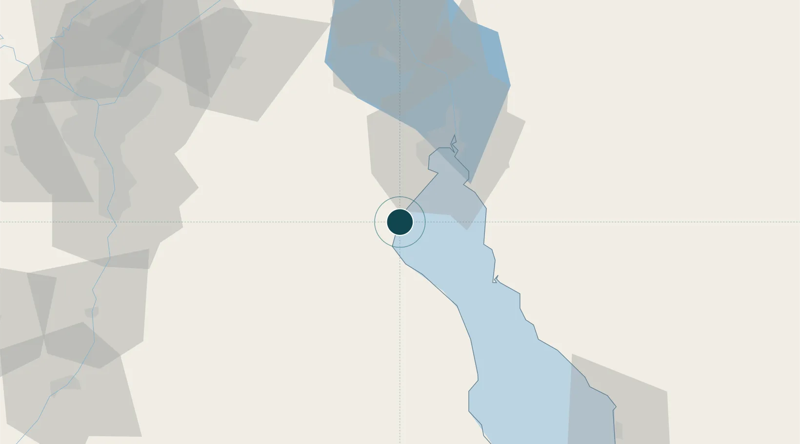
29.6833°, 32.3667°
7.9 m
Channel depth
2
Container terminals
149.1
Port liner connectivity
Channel & Berth Profile
Pilotage, Tugs & Services
Pilotage compulsoryYES
Pilotage availableYES
Tug assistanceYES
Facilities & Capabilities
Container—
Ro-Ro—
Liquid bulk—
Dry bulk—
Oil terminal—
Break bulk—
Dry dock—
Repairs—
Bunkering—
Rail link—
Dangerous cargo—
ISPS security—
Harbour Specifications
Harbour size
Very Small
Harbour type
Coastal (Breakwater)
Shelter
Fair
Water body
Gulf of Suez; Red Sea; Indian Ocean
Pilotage
Yes
Liner Connectivity
149.1
PLSCI
Port Liner Shipping Connectivity Index for Sokhna Port Gas Tanker Terminal, as published by UNCTAD for the latest available quarter. Higher values indicate stronger scheduled liner-shipping integration.
Shown relative to the highest per-port PLSCI in the dataset (1,657.9).
Location
Container Terminals · 2
DP WORLD SOKHNA
DPWSOK DP WORLD
RED SEA CONTAINER TERMINALS (RSCT)
RSCT RED SEA CONTAINER TERMINALS / HUTCHISON PORTS
Nearby Logistics Neighbours
Ports
- 1Ain Sukhna Terminal4 km
- 2El-Adabiya23 km
- 3Ras Sudr34 km
- 4As Suways36 km
- 5El Ismailiya100 km
Cities
- 1Marsa Oriental Petrochemicals2 km
- 2Galala Marina25 km
- 3Al Adabiyah26 km
- 4Dome Marina30 km
- 5Ras Sudr30 km
Airports
- 1Capital International Airport66 km
- 2Abu Suwayr Air Base102 km
- 3Ismailia Air Base103 km
- 4Cairo International Airport105 km
- 5Bilbeis 2 Airfield105 km
Trade Zones
DatabookThe Record of Consolidated Knowledge
Egypt beyond logistics?