Large airport · Egypt

Capital International AirportHECP
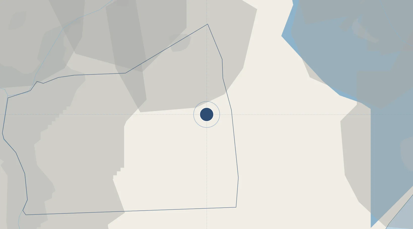
30.0647°, 31.8400°
11,980 ft
Longest runway
2
Runways
761 ft
Elevation

Runway & Layout

Capital International Airport runway & taxiway layout
Runway & taxiway layout — OpenStreetMap (ODbL) / OurAirports

Radio Frequencies

TWR
118.9 MHz
Capital tower
GND
121.925 MHz
Capital Ground
RDO
5.79 MHz
Capital Radio
OurAirports

Runways · 2

RunwayDimensions SurfaceTrue headingLit
01L/19R 11,980 × 148ft Asphalt 015°
01R/19L 11,980 × 148ft Asphalt 020°
OurAirports

Airport Specifications

IATA code
CCE
OurAirports
ICAO code
HECP
OurAirports
Airport class
Large airport
OurAirports
Scheduled service
Yes
OurAirports
Runway surface
Asphalt
OurAirports
Served city
New Cairo
OurAirports

Location

Location of HECP
Natural Earth 10m (public domain) · Al Qahirah · HECP · 30.06, 31.84GoogleOSMYandex

Nearby Logistics Neighbours

Airports
  1. 1Bilbeis 2 Airfield43 km
  2. 2Cairo International Airport43 km
  3. 3Bilbeis Air Base43 km
  4. 4Almaza Air Force Base46 km
  5. 5Abu Suwayr Air Base62 km
Nearest neighbours — logibook spatial index (haversine) over the source coordinates
Cities
  1. 1Badr14 km
  2. 210th of Ramadan City30 km
  3. 3Ain Sukhna38 km
  4. 4Bahtim56 km
  5. 5Al Adabiyah62 km
Nearest neighbours — logibook spatial index (haversine) over the source coordinates
Ports
  1. 1El-Adabiya64 km
  2. 2Sokhna Port Gas Tanker Terminal66 km
  3. 3Ain Sukhna Terminal69 km
  4. 4As Suways69 km
  5. 5El Ismailiya72 km
Nearest neighbours — logibook spatial index (haversine) over the source coordinates
Trade Zones
  1. 110th of Ramadan Free Zone26 km
  2. 2Ain Shams University Investment Zone41 km
  3. 3Nasr Free Economic Zone45 km
  4. 4City Center Almaza Investment Zone46 km
  5. 5Nasr City Public Free Zone48 km
Nearest neighbours — logibook spatial index (haversine) over the source coordinates
DatabookThe Record of Consolidated Knowledge
Egypt beyond logistics?
Browse databook

All Sources

AirportsOurAirports
Public domain
Portsthe NGA World Port Index
Public domain (US gov)
LocationsUN/LOCODE
UN/LOCODE — free
Trade Zonesthe World Bank SEZ database
CC BY 4.0
Trade ZonesOpen Zone Map
CC BY
InfrastructureOpenStreetMap
ODbL 1.0
← Egypt airports