UN/LOCODE hub · Egypt
EGTRC

10th of Ramadan City

30.2987°, 31.6770°
2
Transport functions

Transport Functions

Road
Multimodal
UN/LOCODE

Hub Profile

Logistics facilities
1
UN/LOCODE

Location

Location of EGTRC
Natural Earth 10m (public domain) · Ash Sharqiyah · EGTRC · 30.30, 31.68GoogleOSMYandex

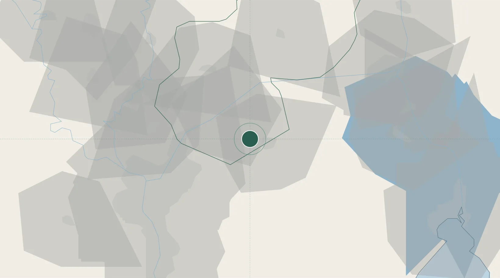
Nearby Logistics Neighbours

Cities
  1. 1Badr19 km
  2. 2Bahtim44 km
  3. 3Qalyub48 km
  4. 4Banha50 km
  5. 5Ain Sukhna57 km
Nearest neighbours — logibook spatial index (haversine) over the source coordinates
Ports
  1. 1El Ismailiya66 km
  2. 2El-Adabiya90 km
  3. 3As Suways92 km
  4. 4Sokhna Port Gas Tanker Terminal95 km
  5. 5Ain Sukhna Terminal98 km
Nearest neighbours — logibook spatial index (haversine) over the source coordinates
Airports
  1. 1Bilbeis Air Base13 km
  2. 2Bilbeis 2 Airfield14 km
  3. 3Capital International Airport30 km
  4. 4Cairo International Airport34 km
  5. 5Almaza Air Force Base38 km
Nearest neighbours — logibook spatial index (haversine) over the source coordinates
Trade Zones
  1. 110th of Ramadan Free Zone6 km
  2. 2Ain Shams University Investment Zone24 km
  3. 3Arab Al Olayqat Investment Zone30 km
  4. 4Nasr Free Economic Zone38 km
  5. 5City Center Almaza Investment Zone39 km
Nearest neighbours — logibook spatial index (haversine) over the source coordinates
DatabookThe Record of Consolidated Knowledge
Egypt beyond logistics?
Browse databook

All Sources

LocationsUN/LOCODE
UN/LOCODE — free
Portsthe NGA World Port Index
Public domain (US gov)
AirportsOurAirports
Public domain
Trade Zonesthe World Bank SEZ database
CC BY 4.0
Trade ZonesOpen Zone Map
CC BY
← Egypt locations