Medium airport · Egypt
Bilbeis Air BaseHE37
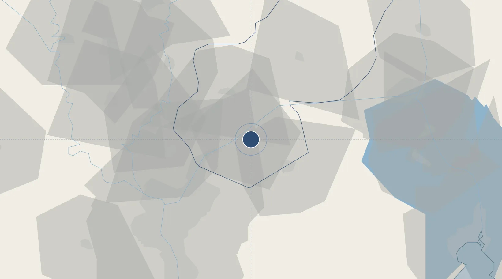
30.3949°, 31.6014°
11,480 ft
Longest runway
5
Runways
90 ft
Elevation
Runway & Layout

Runways · 5
| Runway | Dimensions | Surface | True heading | Lit |
|---|---|---|---|---|
| 04/22 | 11,480 × 150ft | Asphalt | 045° | — |
| 17L/35R | 9,960 × 160ft | Asphalt | 169° | — |
| 09R/27L | 8,200 × 150ft | Asphalt | 093° | — |
| 17R/35L | 5,140 × 150ft | Asphalt | 169° | — |
| 09L/27R | 5,100 × 150ft | Asphalt | 096° | — |
Airport Specifications
Airport class
Medium airport
Scheduled service
No
Runway surface
Asphalt
Served city
Bilbeis
Location
Nearby Logistics Neighbours
Airports
- 1Bilbeis 2 Airfield8 km
- 2Cairo International Airport37 km
- 3Almaza Air Force Base41 km
- 4Capital International Airport43 km
- 5Quesna Airport50 km
Cities
- 110th of Ramadan City13 km
- 2Badr31 km
- 3Banha41 km
- 4Bahtim43 km
- 5Qalyub46 km
Ports
- 1El Ismailiya69 km
- 2El-Adabiya102 km
- 3As Suways103 km
- 4Sokhna Port Gas Tanker Terminal108 km
- 5Ain Sukhna Terminal111 km
Trade Zones
DatabookThe Record of Consolidated Knowledge
Egypt beyond logistics?