Seaport · Egypt

As SuwaysEGSUZ

29.9667°, 32.5500°
18.6 m
Channel depth
12.3
Port liner connectivity
As Suways is also a UN/LOCODE logistics hub →

Channel & Berth Profile

SEA LEVEL (CD)CHANNEL BEDCargo pier · 4.9 mAnchorage · 6.4 mOil terminal · 7.9 mChannel · 18.6 m
NGA World Port Index

Pilotage, Tugs & Services

Pilotage compulsoryYES
Pilotage availableYES
Pilotage advisableYES
Tug assistanceYES
Salvage tugsNO
Shore powerYES
Potable waterYES
Diesel bunkersYES
MedicalYES
Garbage disposalYES
NGA World Port Index

Facilities & Capabilities

Container
Ro-Ro
Liquid bulk
Dry bulk
Oil terminal
Break bulk
Dry dockNO
RepairsNO
BunkeringYES
Rail linkYES
Dangerous cargo
ISPS security
NGA World Port Index

Harbour Specifications

Harbour size
Large
NGA World Port Index
Harbour type
Coastal (Breakwater)
NGA World Port Index
Shelter
Good
NGA World Port Index
Water body
Gulf of Suez; Red Sea; Indian Ocean
NGA World Port Index
Tidal range
2 m
NGA World Port Index
Pilotage
Yes
NGA World Port Index

Liner Connectivity

12.3
PLSCI

Port Liner Shipping Connectivity Index for As Suways, as published by UNCTAD for the latest available quarter. Higher values indicate stronger scheduled liner-shipping integration.

Shown relative to the highest per-port PLSCI in the dataset (1,657.9).
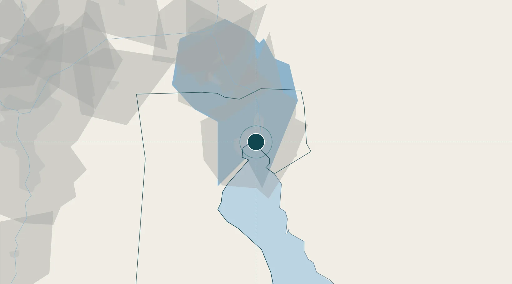
UNCTAD · Port Liner Shipping Connectivity Index

Location

Location of EGSUZ
Natural Earth 10m (public domain) · As Suways · EGSUZ · 29.97, 32.55GoogleOSMYandex

Nearby Logistics Neighbours

Ports
  1. 1El-Adabiya14 km
  2. 2Sokhna Port Gas Tanker Terminal36 km
  3. 3Ain Sukhna Terminal39 km
  4. 4Ras Sudr45 km
  5. 5El Ismailiya73 km
Nearest neighbours — logibook spatial index (haversine) over the source coordinates
Cities
  1. 1Al Adabiyah11 km
  2. 2Marsa Oriental Petrochemicals37 km
  3. 3Sokhna Port40 km
  4. 4Ras Sudr42 km
  5. 5Galala Marina57 km
Nearest neighbours — logibook spatial index (haversine) over the source coordinates
Airports
  1. 1Capital International Airport69 km
  2. 2Bardawil International Airport76 km
  3. 3Ismailia Air Base76 km
  4. 4Abu Suwayr Air Base80 km
  5. 5Bilbeis 2 Airfield98 km
Nearest neighbours — logibook spatial index (haversine) over the source coordinates
Trade Zones
  1. 1Suez Public Free Zone3 km
  2. 2Suez Canal Economic Zone37 km
  3. 3Ishmailia Public Free Zone78 km
  4. 410th of Ramadan Free Zone86 km
  5. 5Ain Shams University Investment Zone109 km
Nearest neighbours — logibook spatial index (haversine) over the source coordinates
DatabookThe Record of Consolidated Knowledge
Egypt beyond logistics?
Browse databook

All Sources

Portsthe NGA World Port Index
Public domain (US gov)
Logistics performanceUNCTAD
CC BY 3.0 IGO
AirportsOurAirports
Public domain
LocationsUN/LOCODE
UN/LOCODE — free
Trade Zonesthe World Bank SEZ database
CC BY 4.0
Trade ZonesOpen Zone Map
CC BY
← Egypt ports