UN/LOCODE hub · Egypt
EGBDR

Badr

30.1333°, 31.7167°
32,940
Population
1
Transport functions

Transport Functions

Multimodal
UN/LOCODE

Hub Profile

Place type
Populated place
GeoNames
Region
Cairo
GeoNames
Population
32,940
GeoNames
Time zone
Africa/Cairo
GeoNames
Elevation
216 m
GeoNames

Location

Location of EGBDR
Natural Earth 10m (public domain) · Cairo · EGBDR · 30.13, 31.72GoogleOSMYandex

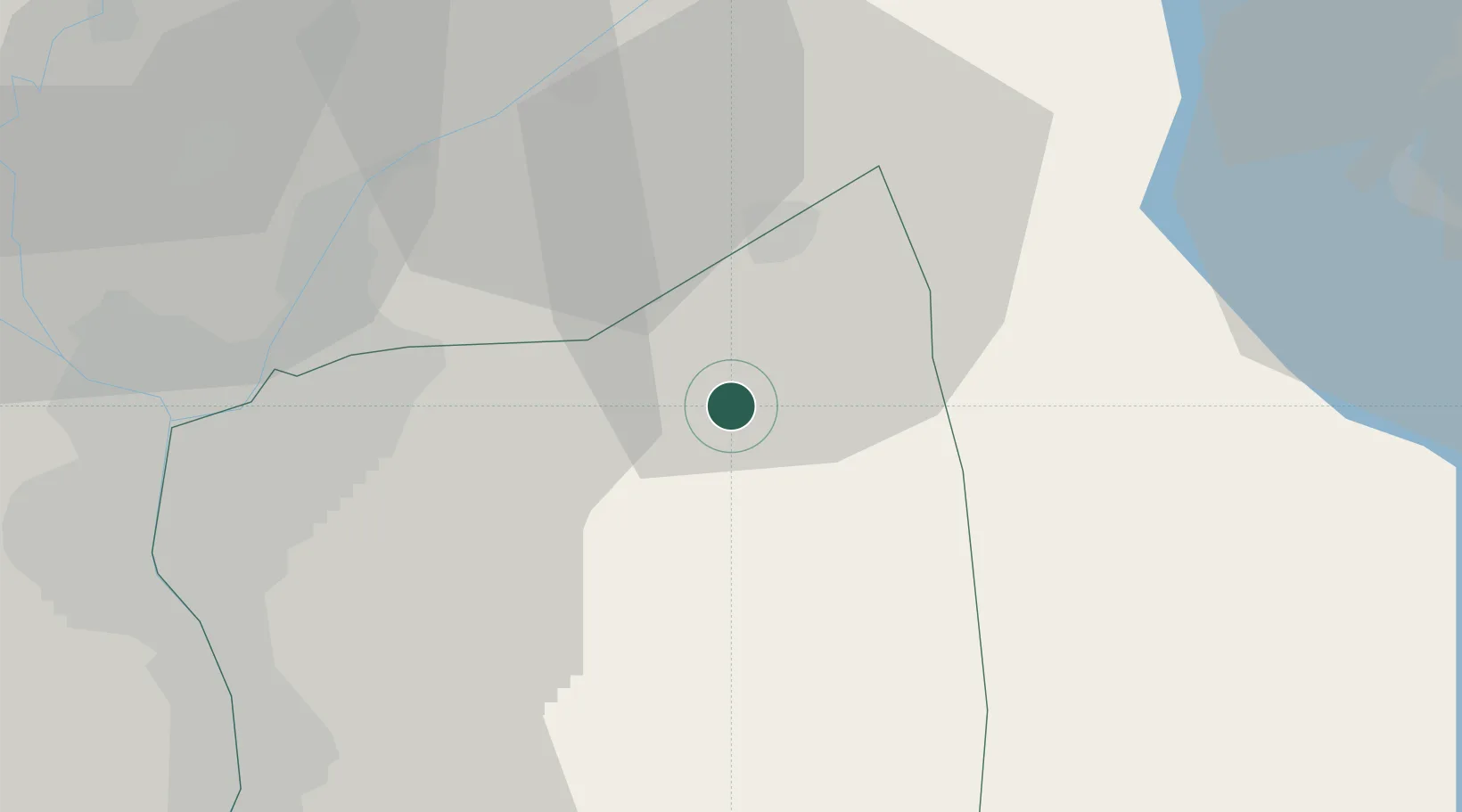
Nearby Logistics Neighbours

Cities
  1. 110th of Ramadan City19 km
  2. 2Ain Sukhna39 km
  3. 3Bahtim43 km
  4. 4Qalyub50 km
  5. 5Al Minya61 km
Nearest neighbours — logibook spatial index (haversine) over the source coordinates
Ports
  1. 1El Ismailiya74 km
  2. 2El-Adabiya78 km
  3. 3Sokhna Port Gas Tanker Terminal80 km
  4. 4As Suways82 km
  5. 5Ain Sukhna Terminal83 km
Nearest neighbours — logibook spatial index (haversine) over the source coordinates
Airports
  1. 1Capital International Airport14 km
  2. 2Cairo International Airport31 km
  3. 3Bilbeis Air Base31 km
  4. 4Bilbeis 2 Airfield32 km
  5. 5Almaza Air Force Base35 km
Nearest neighbours — logibook spatial index (haversine) over the source coordinates
Trade Zones
  1. 110th of Ramadan Free Zone16 km
  2. 2Ain Shams University Investment Zone27 km
  3. 3Nasr Free Economic Zone34 km
  4. 4Arab Al Olayqat Investment Zone34 km
  5. 5City Center Almaza Investment Zone34 km
Nearest neighbours — logibook spatial index (haversine) over the source coordinates
DatabookThe Record of Consolidated Knowledge
Egypt beyond logistics?
Browse databook

All Sources

LocationsUN/LOCODE
UN/LOCODE — free
LocationsGeoNames
CC BY 4.0
Portsthe NGA World Port Index
Public domain (US gov)
AirportsOurAirports
Public domain
Trade Zonesthe World Bank SEZ database
CC BY 4.0
Trade ZonesOpen Zone Map
CC BY
← Egypt locations