Economic Revitalization Project · Egypt

Ain Shams University Investment Zone Active
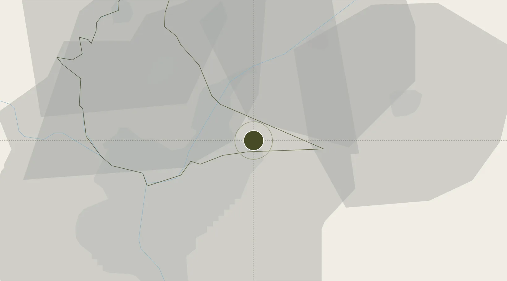
30.2070°, 31.4528°
105 ha
Zone area
90.0 km
Nearest port
11.9 km
Nearest airport

Gateway access

Nearest neighbours — logibook spatial index (haversine) over the source coordinates

Zone profile

Zone type
Economic Revitalization Project
Open Zone Map
Region
Al Qalyubiyah
Open Zone Map
Status
Active
Open Zone Map
Management
Public-Private Partnership
Open Zone Map
Operator
The Ministry of Higher Education and Scientific Research, PPP Central Unit
Open Zone Map
Legal framework
Law No. 83 on Special Economic Zones
Open Zone Map

Location

Location of ozm-1863
Natural Earth 10m (public domain) · Al Qalyubiyah · ozm-1863 · 30.21, 31.45GoogleOSMYandex

Nearby Logistics Neighbours

Ports
  1. 1El Ismailiya90 km
  2. 2El-Adabiya105 km
  3. 3Sokhna Port Gas Tanker Terminal106 km
  4. 4Ain Sukhna Terminal108 km
  5. 5As Suways109 km
Nearest neighbours — logibook spatial index (haversine) over the source coordinates
Airports
  1. 1Cairo International Airport12 km
  2. 2Almaza Air Force Base16 km
  3. 3Bilbeis Air Base25 km
  4. 4Bilbeis 2 Airfield32 km
  5. 5Capital International Airport41 km
Nearest neighbours — logibook spatial index (haversine) over the source coordinates
Cities
  1. 1Bahtim20 km
  2. 210th of Ramadan City24 km
  3. 3Qalyub25 km
  4. 4Badr27 km
  5. 5Banha37 km
Nearest neighbours — logibook spatial index (haversine) over the source coordinates
Trade Zones
  1. 1Arab Al Olayqat Investment Zone7 km
  2. 2Nasr Free Economic Zone16 km
  3. 3City Center Almaza Investment Zone16 km
  4. 4Nasr City Public Free Zone22 km
  5. 510th of Ramadan Free Zone28 km
Nearest neighbours — logibook spatial index (haversine) over the source coordinates
DatabookThe Record of Consolidated Knowledge
Egypt beyond logistics?
Browse databook

All Sources

Trade ZonesOpen Zone Map
CC BY
Portsthe NGA World Port Index
Public domain (US gov)
AirportsOurAirports
Public domain
LocationsUN/LOCODE
UN/LOCODE — free
← Egypt trade zones