Runway & Layout

Airport Specifications
Airport class
Medium airport
Scheduled service
No
Served city
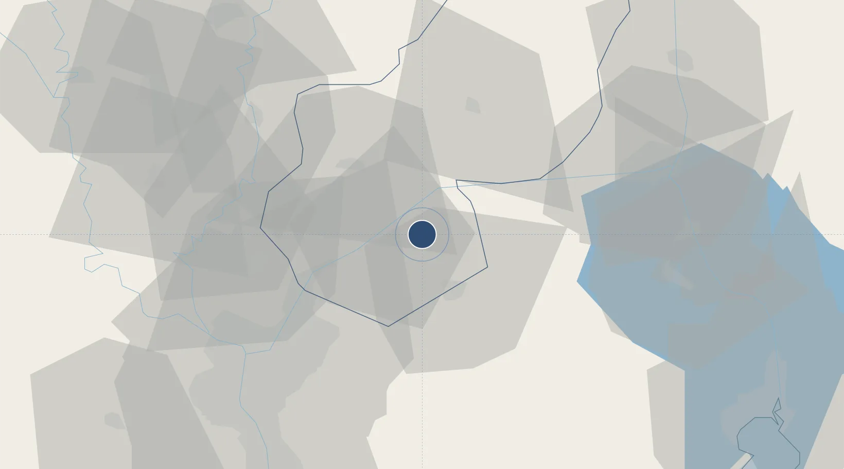
Bilbeis
Location
Nearby Logistics Neighbours
Airports
- 1Bilbeis Air Base8 km
- 2Capital International Airport43 km
- 3Abu Suwayr Air Base43 km
- 4Cairo International Airport44 km
- 5Almaza Air Force Base48 km
Cities
- 110th of Ramadan City14 km
- 2Badr32 km
- 3Banha48 km
- 4Bahtim51 km
- 5Qalyub54 km
Ports
- 1El Ismailiya61 km
- 2El-Adabiya98 km
- 3As Suways98 km
- 4Sokhna Port Gas Tanker Terminal105 km
- 5Ain Sukhna Terminal108 km
Trade Zones
DatabookThe Record of Consolidated Knowledge
Egypt beyond logistics?