Free Zone · Egypt
Port Said Public Free Zone Active
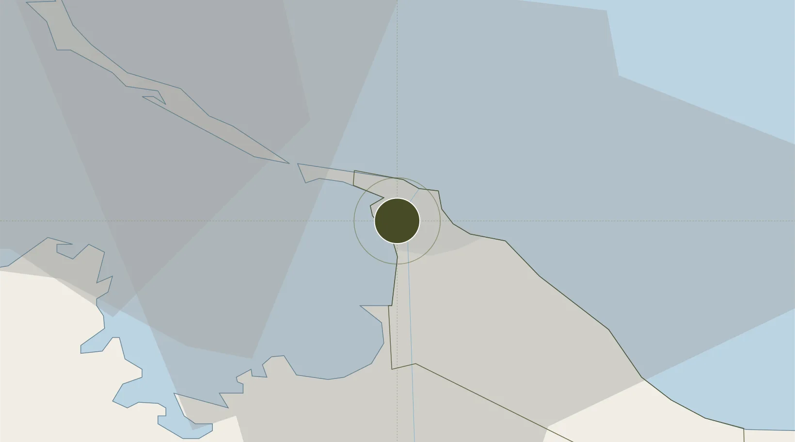
31.2446°, 32.2947°
1,600 ha
Zone area
2.5 km
Nearest port
6.4 km
Nearest airport
Gateway access
Zone profile
Zone type
Free Zone
Region
Bur Sa`id
Status
Active
Established
1975
Management
Public agency
Operator
General Authority for Investment and Free Zones
Regulatory authority
General Authority for Investment and Free Zones
Legal framework
Investment Law No 8
Location
Fiscal & incentives
Corporate tax
23%
Tax relief
Reduced fixed-rate at 1%
Relief duration
Perpetual
VAT
No exemption
Import duty (inputs)
100% exempt
Import duty (capex)
100% exempt
Profit repatriation
100% exempt from profit transfer tax
Capital gains
No exemption
Withholding tax
No exemption
Min. investment
None
Min. export
50%
Employment incentive
No exemption
Developer incentive
No established framework
Nearby Logistics Neighbours
Ports
- 1Bur Sa'id3 km
- 2Damietta58 km
- 3El Ismailiya74 km
- 4As Suways144 km
- 5Al Arish147 km
Airports
- 1Port Said International Airport6 km
- 2Ismailia Air Base72 km
- 3Abu Suwayr Air Base77 km
- 4Al Mansurah Airbase88 km
- 5Bilbeis 2 Airfield109 km
Cities
- 1Port Said4 km
- 2Port Said East6 km
- 3Marsa Egyptian Propylene & Polypropylene15 km
- 4Dumyat (Damietta)56 km
- 5Al Mansurah91 km
Trade Zones
- 1Damietta Public Free Zone54 km
- 2Ishmailia Public Free Zone72 km
- 3Mit Ghamr Investment Zone115 km
- 410th of Ramadan Free Zone120 km
- 5Banha Investment Zone137 km
DatabookThe Record of Consolidated Knowledge
Egypt beyond logistics?