Free Zone · Egypt

Suez Public Free Zone Active
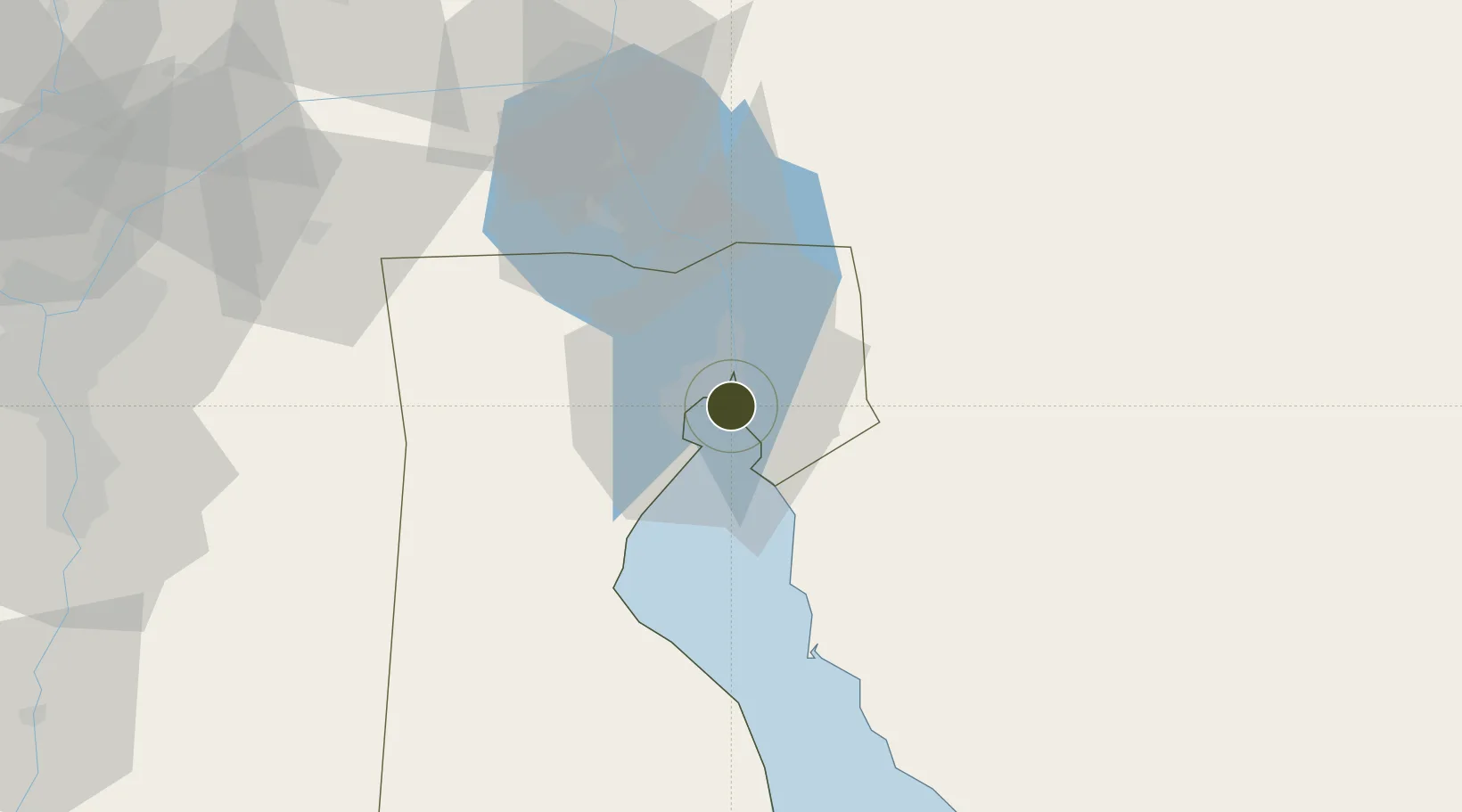
29.9452°, 32.5669°
1 ha
Zone area
2.9 km
Nearest port
71.2 km
Nearest airport

Gateway access

Nearest neighbours — logibook spatial index (haversine) over the source coordinates

Zone profile

Zone type
Free Zone
the World Bank SEZ database
Specialization
Medical
the World Bank SEZ database
Region
As Suways
the World Bank SEZ database
Status
Active
the World Bank SEZ database
Established
1993
the World Bank SEZ database
Management
Public agency
the World Bank SEZ database
Operator
General Authority for Investment and Free Zones
the World Bank SEZ database
Regulatory authority
General Authority for Investment and Free Zones
the World Bank SEZ database
Legal framework
Investment Law No 8
the World Bank SEZ database

Location

Location of EGY8
Natural Earth 10m (public domain) · As Suways · EGY8 · 29.95, 32.57GoogleOSMYandex

Fiscal & incentives

Corporate tax
23%
the World Bank SEZ database
Tax relief
Reduced fixed-rate at 1%
the World Bank SEZ database
Relief duration
Perpetual
the World Bank SEZ database
VAT
No exemption
the World Bank SEZ database
Import duty (inputs)
100% exempt
the World Bank SEZ database
Import duty (capex)
100% exempt
the World Bank SEZ database
Profit repatriation
100% exempt from profit transfer tax
the World Bank SEZ database
Capital gains
No exemption
the World Bank SEZ database
Withholding tax
No exemption
the World Bank SEZ database
Min. investment
None
the World Bank SEZ database
Min. export
50%
the World Bank SEZ database
Employment incentive
No exemption
the World Bank SEZ database
Developer incentive
No established framework
the World Bank SEZ database

Nearby Logistics Neighbours

Ports
  1. 1As Suways3 km
  2. 2El-Adabiya13 km
  3. 3Sokhna Port Gas Tanker Terminal35 km
  4. 4Ain Sukhna Terminal38 km
  5. 5Ras Sudr42 km
Nearest neighbours — logibook spatial index (haversine) over the source coordinates
Airports
  1. 1Capital International Airport71 km
  2. 2Bardawil International Airport77 km
  3. 3Ismailia Air Base79 km
  4. 4Abu Suwayr Air Base83 km
  5. 5Bilbeis 2 Airfield100 km
Nearest neighbours — logibook spatial index (haversine) over the source coordinates
Cities
  1. 1As Suways (Suez)5 km
  2. 2Al Adabiyah11 km
  3. 3Marsa Oriental Petrochemicals36 km
  4. 4Sokhna Port39 km
  5. 5Ras Sudr40 km
Nearest neighbours — logibook spatial index (haversine) over the source coordinates
Trade Zones
  1. 1Suez Canal Economic Zone36 km
  2. 2Ishmailia Public Free Zone81 km
  3. 310th of Ramadan Free Zone89 km
  4. 4Ain Shams University Investment Zone111 km
  5. 5Nasr Free Economic Zone116 km
Nearest neighbours — logibook spatial index (haversine) over the source coordinates
DatabookThe Record of Consolidated Knowledge
Egypt beyond logistics?
Browse databook

All Sources

Trade Zonesthe World Bank SEZ database
CC BY 4.0
Portsthe NGA World Port Index
Public domain (US gov)
AirportsOurAirports
Public domain
LocationsUN/LOCODE
UN/LOCODE — free
← Egypt trade zones