Economic Revitalization Project · Egypt

Arab Al Olayqat Investment Zone Under Development
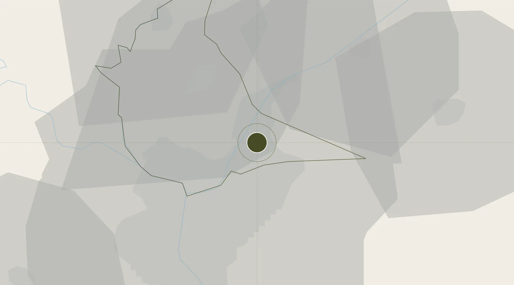
30.2218°, 31.3775°
14 ha
Zone area
95.7 km
Nearest port
12.4 km
Nearest airport

Gateway access

Nearest neighbours — logibook spatial index (haversine) over the source coordinates

Zone profile

Zone type
Economic Revitalization Project
Open Zone Map
Region
Al Qalyubiyah
Open Zone Map
Status
Under Development
Open Zone Map
Management
Public
Open Zone Map
Operator
General Authority for Investment & Free Zones
Open Zone Map
Legal framework
Law No. 83 on Special Economic Zones
Open Zone Map

Location

Location of ozm-1858
Natural Earth 10m (public domain) · Al Qalyubiyah · ozm-1858 · 30.22, 31.38GoogleOSMYandex

Nearby Logistics Neighbours

Ports
  1. 1El Ismailiya96 km
  2. 2El-Adabiya112 km
  3. 3Sokhna Port Gas Tanker Terminal113 km
  4. 4Ain Sukhna Terminal115 km
  5. 5As Suways116 km
Nearest neighbours — logibook spatial index (haversine) over the source coordinates
Airports
  1. 1Cairo International Airport12 km
  2. 2Almaza Air Force Base15 km
  3. 3Bilbeis Air Base29 km
  4. 4Bilbeis 2 Airfield36 km
  5. 5Cairo West Air Base46 km
Nearest neighbours — logibook spatial index (haversine) over the source coordinates
Cities
  1. 1Bahtim15 km
  2. 2Qalyub18 km
  3. 310th of Ramadan City30 km
  4. 4Banha32 km
  5. 5Badr34 km
Nearest neighbours — logibook spatial index (haversine) over the source coordinates
Trade Zones
  1. 1Ain Shams University Investment Zone7 km
  2. 2Nasr Free Economic Zone15 km
  3. 3City Center Almaza Investment Zone16 km
  4. 4Nasr City Public Free Zone21 km
  5. 5Cairo University Investment Zone28 km
Nearest neighbours — logibook spatial index (haversine) over the source coordinates
DatabookThe Record of Consolidated Knowledge
Egypt beyond logistics?
Browse databook

All Sources

Trade ZonesOpen Zone Map
CC BY
Portsthe NGA World Port Index
Public domain (US gov)
AirportsOurAirports
Public domain
LocationsUN/LOCODE
UN/LOCODE — free
← Egypt trade zones