UN/LOCODE hub · Egypt
EGPSD
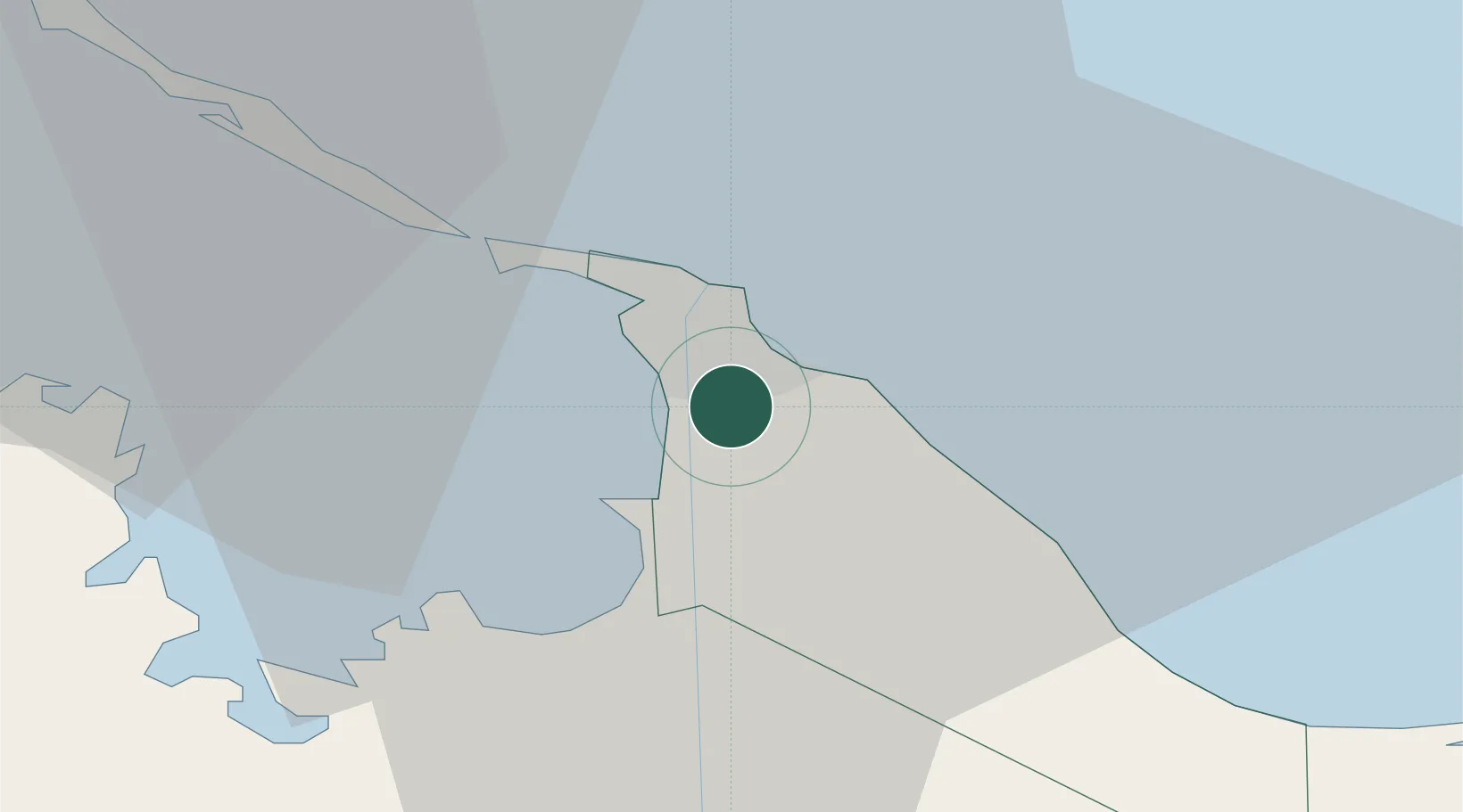
Port Said
31.2142°, 32.3248°
780,515
Population
2
Transport functions
2
Container terminals
Transport Functions
Port
Airport
Hub Profile
Place type
Regional capital
Region
Port Said
Population
780,515
Time zone
Africa/Cairo
Elevation
16 m
Logistics facilities
5
Container terminals
2
Location
Nearby Logistics Neighbours
Cities
- 1Port Said East2 km
- 2Marsa Egyptian Propylene & Polypropylene19 km
- 3Dumyat (Damietta)60 km
- 4Al Mansurah93 km
- 5Samannud108 km
Ports
- 1Damietta62 km
- 2El Ismailiya70 km
- 3As Suways140 km
- 4Al Arish144 km
- 5El-Adabiya151 km
Airports
- 1Port Said International Airport11 km
- 2Ismailia Air Base69 km
- 3Abu Suwayr Air Base75 km
- 4Al Mansurah Airbase89 km
- 5Bilbeis 2 Airfield108 km
Trade Zones
DatabookThe Record of Consolidated Knowledge
Egypt beyond logistics?